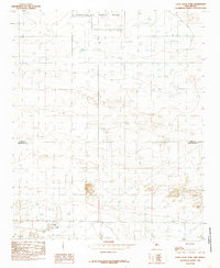
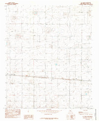
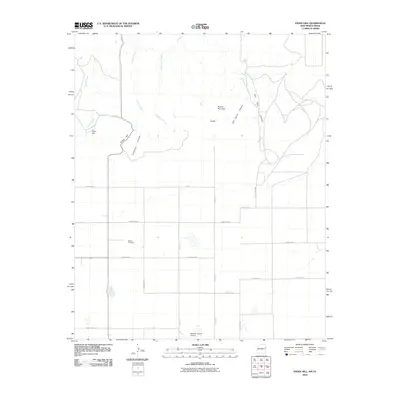
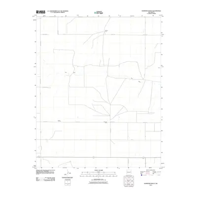
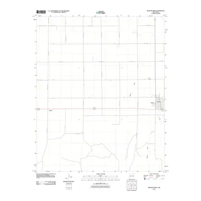
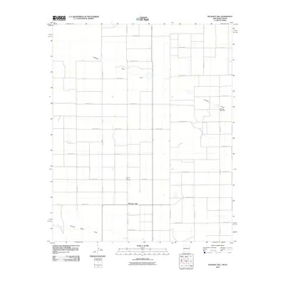
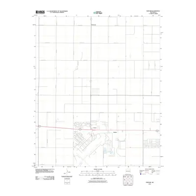
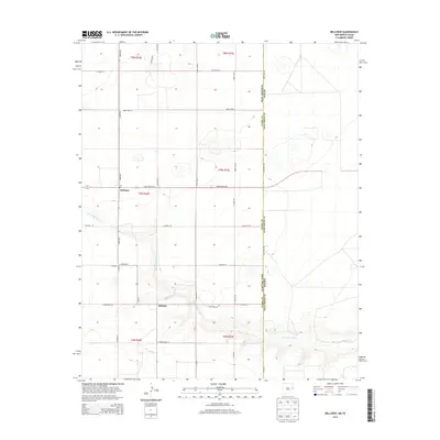
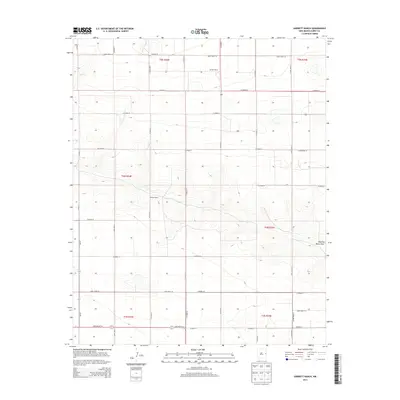
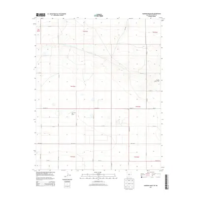
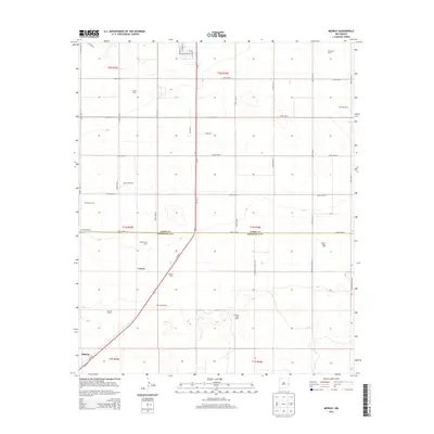
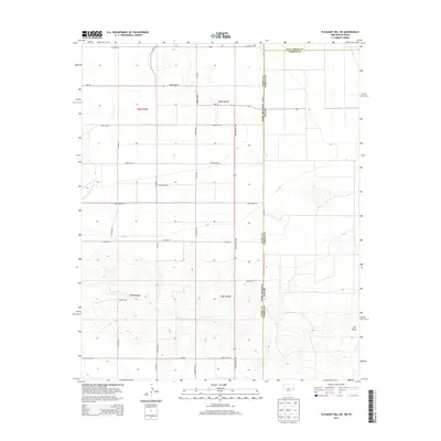
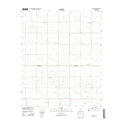
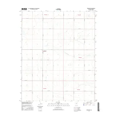
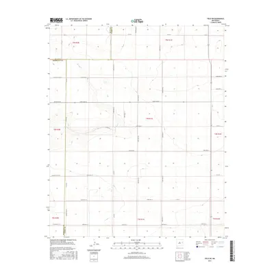
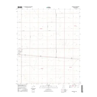
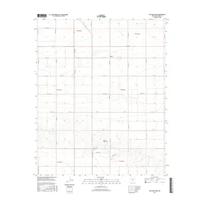
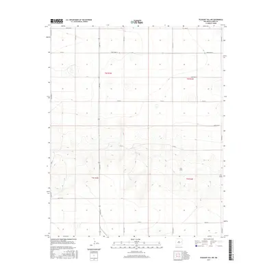
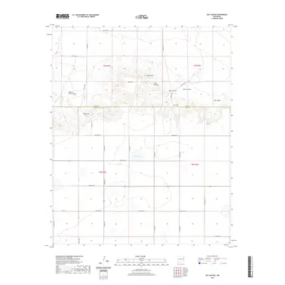
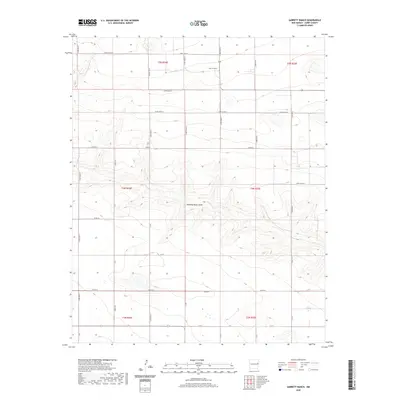
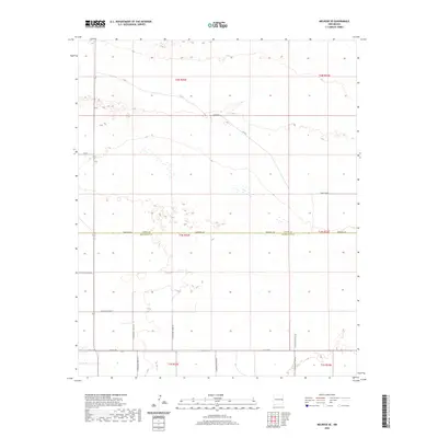
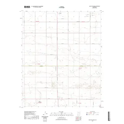
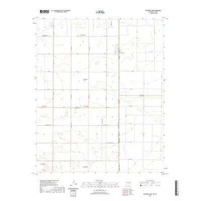
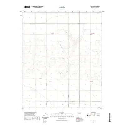
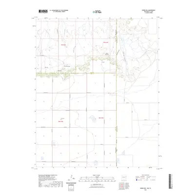
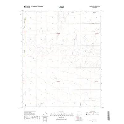
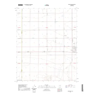
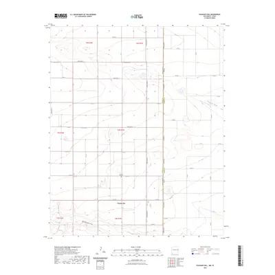
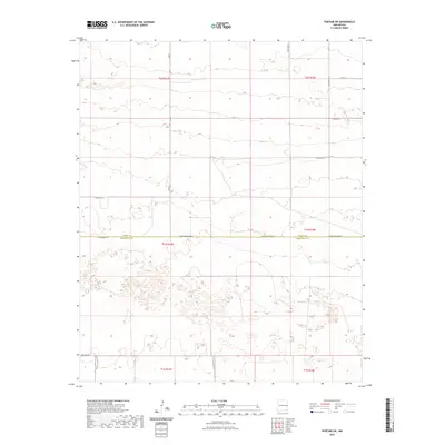
1985 Map of Hammond Ranch SW
USGS Topo · Published 1985About this map
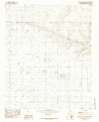
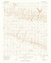
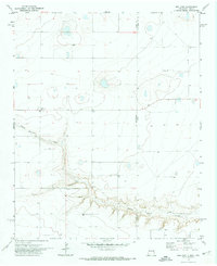
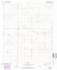
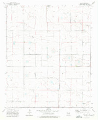
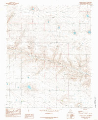
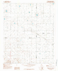
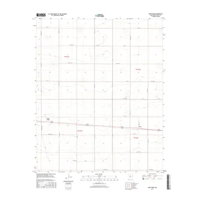
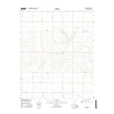
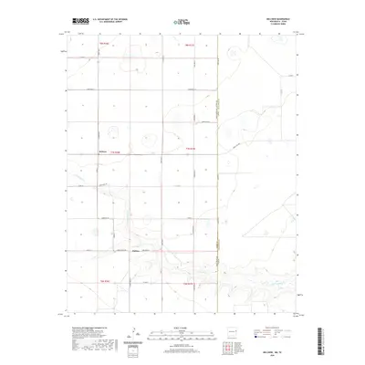
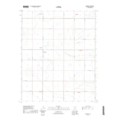
Running Water Draw carves a path through this high plains landscape of eastern New Mexico, defining the agricultural and ranching patterns of the mid-1980s. The map illustrates a region heavily reliant on groundwater, as evidenced by the numerous Wells and Well sites scattered across the terrain. While traditional ranching remains central with operations like Hammond Ranch and Smith Ranch, the infrastructure reveals more modern additions to the rural landscape. A Radio Tower and Storage Bins point to the logistical and communication needs of the era, while a remote Landing Strip and a lone Grave provide specific points of interest for local historians. This survey presents the geometric precision of township and range lines against the natural contours of the High Plains, capturing a moment when large-scale ranching and water management were the primary drivers of land use in Curry County.
Find a feature on this map
19 named features on this map. Tap any name to fly to it.
Don’t see what you’re looking for? This feature index may not catch every label — zoom into the map to look around manually.
Map Details
Editions of this 1985 Hammond Ranch SW Map
This is the sole edition of this map. No revisions or reprints were ever made.
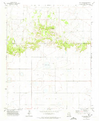
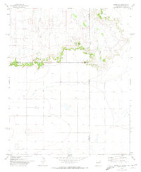
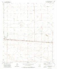
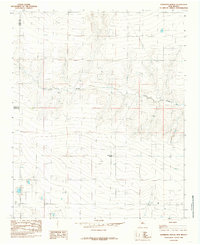
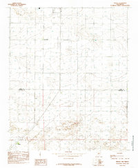
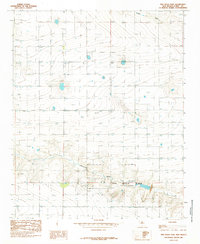
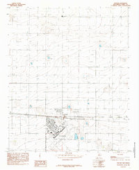
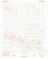
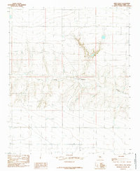
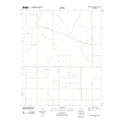
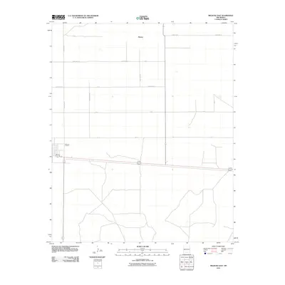
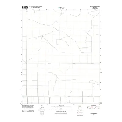
Historical Maps of Curry County Through Time
141 maps found
1957 Hammond Ranch
Curry County, NM

1957 Pleasant Hill
Curry County, NM
1957 Portair
Curry County, NM
1971 Bellview
Curry County, NM
1971 Broadview
Curry County, NM
1971 Day Canyon
Curry County, NM
1971 Endee Hill
Curry County, NM
1972 Melrose East
Curry County, NM
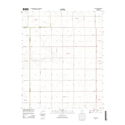
1973 Field SE
Curry County, NM
1973 Field SW
Curry County, NM
1973 Melrose SE
Curry County, NM
1973 Melrose West
Curry County, NM
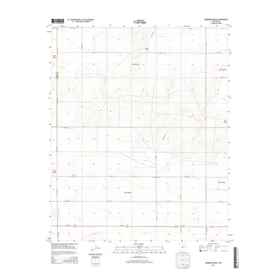
1985 Garrett Ranch
Curry County, NM
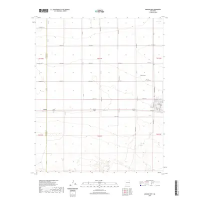
1985 Hammond Ranch
Curry County, NM
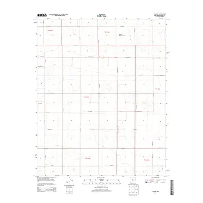
1985 Hammond Ranch SW
Curry County, NM
1985 Midway
Curry County, NM
1985 Ned Houk Park
Curry County, NM
1985 Oasis State Park
Curry County, NM
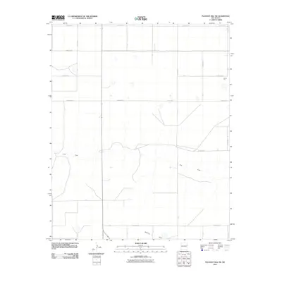
1985 Pleasant Hill
Curry County, NM
1985 Pleasant Hill NE
Curry County, NM
1985 Pleasant Hill NW
Curry County, NM
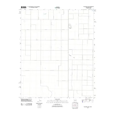
1985 Pleasure Lake
Curry County, NM
1985 Portair
Curry County, NM
1985 Portair SW
Curry County, NM
1985 Smith Ranch
Curry County, NM
1985 St Vrain
Curry County, NM
2010 Bellview
Curry County, NM
2010 Broadview
Curry County, NM
2010 Day Canyon
Curry County, NM
2010 Endee Hill
Curry County, NM
2010 Field SE
Curry County, NM
2010 Field SW
Curry County, NM
2010 Garrett Ranch
Curry County, NM
2010 Hammond Ranch
Curry County, NM
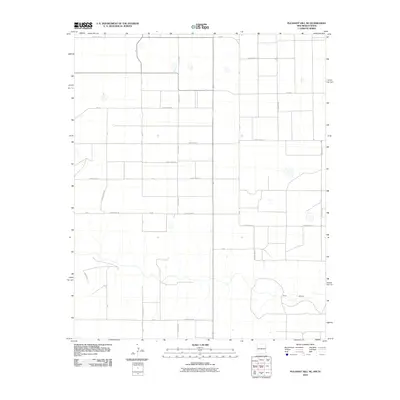
2010 Hammond Ranch SW
Curry County, NM
2010 Melrose East
Curry County, NM
2010 Melrose SE
Curry County, NM
2010 Melrose West
Curry County, NM
2010 Midway
Curry County, NM
2010 Ned Houk Park
Curry County, NM
2010 Oasis State Park
Curry County, NM
2010 Pleasant Hill
Curry County, NM
2010 Pleasant Hill NE
Curry County, NM
2010 Pleasant Hill NW
Curry County, NM
2010 Pleasure Lake
Curry County, NM
2010 Portair
Curry County, NM
2010 Portair SW
Curry County, NM
2010 Saint Vrain
Curry County, NM
2010 Smith Ranch
Curry County, NM
2013 Bellview
Curry County, NM
2013 Broadview
Curry County, NM
2013 Day Canyon
Curry County, NM
2013 Endee Hill
Curry County, NM
2013 Field SE
Curry County, NM
2013 Field SW
Curry County, NM
2013 Garrett Ranch
Curry County, NM
2013 Hammond Ranch
Curry County, NM
2013 Hammond Ranch SW
Curry County, NM
2013 Melrose East
Curry County, NM
2013 Melrose SE
Curry County, NM
2013 Melrose West
Curry County, NM
2013 Midway
Curry County, NM
2013 Ned Houk Park
Curry County, NM
2013 Oasis State Park
Curry County, NM
2013 Pleasant Hill
Curry County, NM
2013 Pleasant Hill NE
Curry County, NM
2013 Pleasant Hill NW
Curry County, NM
2013 Pleasure Lake
Curry County, NM
2013 Portair
Curry County, NM
2013 Portair SW
Curry County, NM
2013 Saint Vrain
Curry County, NM
2013 Smith Ranch
Curry County, NM
2017 Bellview
Curry County, NM
2017 Broadview
Curry County, NM
2017 Day Canyon
Curry County, NM
2017 Endee Hill
Curry County, NM
2017 Field SE
Curry County, NM
2017 Field SW
Curry County, NM
2017 Garrett Ranch
Curry County, NM
2017 Hammond Ranch
Curry County, NM
2017 Hammond Ranch SW
Curry County, NM
2017 Melrose East
Curry County, NM
2017 Melrose SE
Curry County, NM
2017 Melrose West
Curry County, NM
2017 Midway
Curry County, NM
2017 Ned Houk Park
Curry County, NM
2017 Oasis State Park
Curry County, NM
2017 Pleasant Hill
Curry County, NM
2017 Pleasant Hill NE
Curry County, NM
2017 Pleasant Hill NW
Curry County, NM
2017 Pleasure Lake
Curry County, NM
2017 Portair
Curry County, NM
2017 Portair SW
Curry County, NM
2017 Saint Vrain
Curry County, NM
2017 Smith Ranch
Curry County, NM
2020 Bellview
Curry County, NM
2020 Broadview
Curry County, NM
2020 Day Canyon
Curry County, NM
2020 Endee Hill
Curry County, NM
2020 Field SE
Curry County, NM
2020 Field SW
Curry County, NM
2020 Garrett Ranch
Curry County, NM
2020 Hammond Ranch
Curry County, NM
2020 Hammond Ranch SW
Curry County, NM
2020 Melrose East
Curry County, NM
2020 Melrose SE
Curry County, NM
2020 Melrose West
Curry County, NM
2020 Midway
Curry County, NM
2020 Ned Houk Park
Curry County, NM
2020 Oasis State Park
Curry County, NM
2020 Pleasant Hill
Curry County, NM
2020 Pleasant Hill NE
Curry County, NM
2020 Pleasant Hill NW
Curry County, NM
2020 Pleasure Lake
Curry County, NM
2020 Portair
Curry County, NM
2020 Portair SW
Curry County, NM
2020 Saint Vrain
Curry County, NM
2020 Smith Ranch
Curry County, NM
2023 Bellview
Curry County, NM
2023 Broadview
Curry County, NM
2023 Day Canyon
Curry County, NM
2023 Endee Hill
Curry County, NM
2023 Field SE
Curry County, NM
2023 Field SW
Curry County, NM
2023 Garrett Ranch
Curry County, NM
2023 Hammond Ranch
Curry County, NM
2023 Hammond Ranch SW
Curry County, NM
2023 Melrose East
Curry County, NM
2023 Melrose SE
Curry County, NM
2023 Melrose West
Curry County, NM
2023 Midway
Curry County, NM
2023 Ned Houk Park
Curry County, NM
2023 Oasis State Park
Curry County, NM
2023 Pleasant Hill
Curry County, NM
2023 Pleasant Hill NE
Curry County, NM
2023 Pleasant Hill NW
Curry County, NM
2023 Pleasure Lake
Curry County, NM

2023 Portair
Curry County, NM
2023 Portair SW
Curry County, NM
2023 Saint Vrain
Curry County, NM
2023 Smith Ranch
Curry County, NM