
1985 Map of Smith Ranch
USGS Topo · Published 1985About this map
Smith Ranch sits as a primary point of human activity in this portion of Curry County, where the high plains terrain is defined by the deep incisions of Frio Draw. The landscape shows a clear focus on water management and infrastructure, with numerous wells and water tanks scattered across the sections to support ranching operations in a semi-arid environment. The presence of the Double Wooden Pole Transmission Line cutting across the central part of the quadrangle marks the modernization of the local power grid, showing how utility corridors were integrated into the established ranch lands during the mid-1980s. This survey provides a look at the intersection of traditional land use and essential rural infrastructure before later developments altered the character of the high plains.
Find a feature on this map
7 named features on this map. Tap any name to fly to it.
Don’t see what you’re looking for? This feature index may not catch every label — zoom into the map to look around manually.
Map Details
Editions of this 1985 Smith Ranch Map
This is the sole edition of this map. No revisions or reprints were ever made.
Other maps of this area

1954 · Clovis
USGS Topo · 1:250,000

1957 · Pleasant Hill
USGS Topo · 1:62,500

1957 · Hammond Ranch
USGS Topo · 1:62,500

1958 · Clovis
USGS Topo · 1:250,000

1971 · Broadview
USGS Topo · 1:24,000

1971 · Grady
USGS Topo · 1:24,000

1971 · Grady SW
USGS Topo · 1:24,000

1985 · Pleasant Hill NW
USGS Topo · 1:24,000
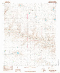
1985 · Garrett Ranch
USGS Topo · 1:24,000
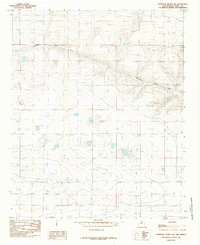
1985 · Hammond Ranch SW
USGS Topo · 1:24,000