
1971 Map of Grady
USGS Topo · Published 1974About this map
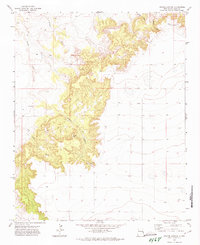
Grady serves as the primary focal point of this high plains landscape, situated right on the line between Quay Co and Curry Co. This early 1970s survey captures the village at a time when its local infrastructure was deeply tied to the surrounding agricultural economy, marked by the presence of large Storage Bins and a central Park. The layout of the town is compact, with a Cem located just north of the main settlement area, providing a localized point of interest for genealogical research.
Find a feature on this map
9 named features on this map. Tap any name to fly to it.
Don’t see what you’re looking for? This feature index may not catch every label — zoom into the map to look around manually.
Map Details
Editions of this 1971 Grady Map
This is the sole edition of this map. No revisions or reprints were ever made.
Other maps of this area

1954 · Clovis
USGS Topo · 1:250,000

1957 · Pleasant Hill
USGS Topo · 1:62,500

1957 · Hammond Ranch
USGS Topo · 1:62,500

1958 · Clovis
USGS Topo · 1:250,000

1971 · Day Canyon
USGS Topo · 1:24,000
1971 · Apache Canyon
USGS Topo · 1:24,000

1971 · Wheatland
USGS Topo · 1:24,000

1971 · Broadview
USGS Topo · 1:24,000

1971 · Grady SW
USGS Topo · 1:24,000

1985 · Pleasant Hill NW
USGS Topo · 1:24,000