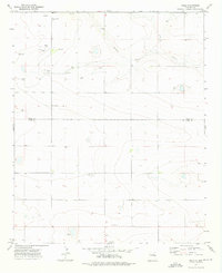
1973 Map of Field
USGS Topo · Published 1976About this map
Field emerges as a key focal point in this 1970s landscape, situated along the boundary of Quay Co and Curry Co. The settlement and its nearby Field Cem are surrounded by a sparsely populated high plains environment defined more by water management and aviation than urban development. The presence of numerous named wells, such as Grandmother Well, Keeler Well, and Reagen Well, speaks to the critical importance of groundwater for ranching and agriculture in this arid region.
Find a feature on this map
18 named features on this map. Tap any name to fly to it.
Don’t see what you’re looking for? This feature index may not catch every label — zoom into the map to look around manually.
Map Details
Editions of this 1973 Field Map
This is the sole edition of this map. No revisions or reprints were ever made.
Other maps of this area

1954 · Clovis
USGS Topo · 1:250,000

1957 · Hammond Ranch
USGS Topo · 1:62,500

1958 · Clovis
USGS Topo · 1:250,000

1971 · Ragland
USGS Topo · 1:24,000

1971 · Grady SW
USGS Topo · 1:24,000

1971 · Forrest
USGS Topo · 1:24,000

1973 · Weber City
USGS Topo · 1:24,000

1973 · Field SE
USGS Topo · 1:24,000

1973 · Field SW
USGS Topo · 1:24,000
1985 · Hammond Ranch SW
USGS Topo · 1:24,000