
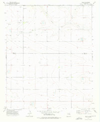
1971 Map of Forrest
USGS Topo · Published 1974About this map
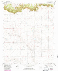
Forrest sits at a remote junction on the high plains of Quay County, where the landscape is defined by the sharp transition between flat tablelands and the winding drainage of Frio Draw. In this 1971 survey, the area reflects a deeply established agricultural and ranching community, evidenced by the presence of Beevers Cem and Plain Cem, which serve as quiet landmarks of local heritage. The terrain is marked by several Gravel Pit operations, indicating the extraction of local resources to support the region's road networks. To the south, the land slopes toward Blanco Creek, illustrating the natural watercourses that have historically dictated the placement of settlements and cattle operations in this arid environment. A single Well and various windmills scattered across the quadrangle highlight the essential role of groundwater in sustaining life on these expansive New Mexico plains.
Find a feature on this map
7 named features on this map. Tap any name to fly to it.
Don’t see what you’re looking for? This feature index may not catch every label — zoom into the map to look around manually.
Map Details
Editions of this 1971 Forrest Map
2 editions found
Other maps of this area

1954 · Clovis
USGS Topo · 1:250,000

1957 · Hammond Ranch
USGS Topo · 1:62,500

1958 · Clovis
USGS Topo · 1:250,000

1971 · Ragland
USGS Topo · 1:24,000
1971 · Mesa Redonda
USGS Topo · 1:24,000
1971 · Apache Canyon
USGS Topo · 1:24,000
1971 · Norton
USGS Topo · 1:24,000

1971 · Grady SW
USGS Topo · 1:24,000

1973 · Weber City
USGS Topo · 1:24,000
1973 · Field
USGS Topo · 1:24,000