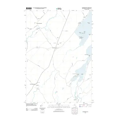
2013 Map of Hammond
USGS Topo · Published 2013About this map
Black Lake dominates the eastern landscape of this Saint Lawrence County region, its waters dotted with numerous named landforms including Hogback Island, Emery Island, and Apple Island. The village of Hammond serves as a central hub, flanked by family agricultural operations like Mitchell Farms, Demick Farms, and Pitcher Farms. This 2013 survey illustrates a rural New York landscape where the primary transportation corridors, such as Co Rte 3 and Co Rte 6, connect scattered settlements from North Hammond down to Rossie near the Indian River. Genealogists will find several burial grounds noted, including Hammond Cem, Fineview Cem, and Rarick Cem. The map also captures the local recreational character along the shoreline at McLear's Cottage Colony and Campground and Back Bay Campground, providing a modern record of land use in this river-and-lake-defined corridor.
Find a feature on this map
68 named features on this map. Tap any name to fly to it.
Don’t see what you’re looking for? This feature index may not catch every label — zoom into the map to look around manually.
Map Details
Editions of this 2013 Hammond Map
This is the sole edition of this map. No revisions or reprints were ever made.
Other maps of this area

1903 · Alexandria Bay
USGS Topo · 1:62,500

1906 · Brier Hill
USGS Topo · 1:62,500

1912 · Hammond
USGS Topo · 1:62,500

1942 · Morristown
USGS Topo · 1:24,000

1943 · Morristown
USGS Topo · 1:31,680

1943 · Redwood
USGS Topo · 1:31,680

1943 · Edwardsville
USGS Topo · 1:31,680

1944 · Hammond
USGS Topo · 1:62,500

1948 · Chippewa Bay
USGS Topo · 1:24,000

1948 · Alexandria Bay
USGS Topo · 1:62,500