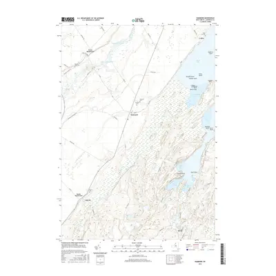
2016 Map of Hammond
USGS Topo · Published 2016About this map
Hammond and its surrounding hamlets occupy a landscape shaped by the Saint Lawrence River to the north and the complex water network of Black Lake to the east. This 2016 survey shows the enduring rural layout of St. Lawrence County, where small settlements like Rossie, Oakvale, and Cedars are connected by a web of county roads and family-named routes such as Newell Rd and Toland Rd. The interior is marked by significant marshlands and drainage basins, including Black Creek and Chippewa Creek, which define the agricultural and natural boundaries of the region. Local history is anchored by numerous cemeteries, including Fineview Cem and Rarick Cem, providing clear points of reference for genealogists. The topography is further distinguished by the numerous islands of Black Lake, such as Hogback Island and Apple Island, which reflect the region's unique geography at the intersection of river valleys and inland lakes.
Find a feature on this map
68 named features on this map. Tap any name to fly to it.
Don’t see what you’re looking for? This feature index may not catch every label — zoom into the map to look around manually.
Map Details
Editions of this 2016 Hammond Map
This is the sole edition of this map. No revisions or reprints were ever made.
Other maps of this area

1903 · Alexandria Bay
USGS Topo · 1:62,500

1906 · Brier Hill
USGS Topo · 1:62,500

1912 · Hammond
USGS Topo · 1:62,500

1942 · Morristown
USGS Topo · 1:24,000

1943 · Morristown
USGS Topo · 1:31,680

1943 · Redwood
USGS Topo · 1:31,680

1943 · Edwardsville
USGS Topo · 1:31,680

1944 · Hammond
USGS Topo · 1:62,500

1948 · Chippewa Bay
USGS Topo · 1:24,000

1948 · Alexandria Bay
USGS Topo · 1:62,500