
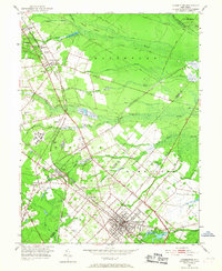
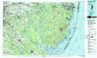
1984 Map of Hammonton
USGS Topo · Published 1988About this map
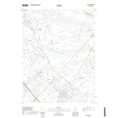
Wharton State Forest and the surrounding Pine Barrens dominate this mid-1980s landscape, illustrating the preservation of vast tracts of wilderness between the rising suburban corridors of South Jersey. The map highlights the transition from the densely settled areas around Moorestown and Lindenwold into the deep woodlands of Lebanon State Forest and Bass River State Forest. Along the eastern edge, the coastal environment of Barnegat Bay and the Atlantic shoreline reveals developed resort towns like Seaside Heights and Surf City situated on the thin barrier of Long Beach and Island Beach.
Find a feature on this map
71 named features on this map. Tap any name to fly to it.
Don’t see what you’re looking for? This feature index may not catch every label — zoom into the map to look around manually.
Map Details
Editions of this 1984 Hammonton Map
3 editions found

Historical Maps of Toms River Through Time
14 maps found

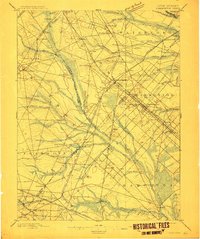
1890 Hammonton
Atlantic County, NJ

1894 Hammonton
Atlantic County, NJ
1898 Hammonton
Atlantic County, NJ

1919 Hammonton
Atlantic County, NJ

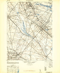
1942 Hammonton
Atlantic County, NJ
1948 Hammonton
Atlantic County, NJ
1953 Hammonton
Atlantic County, NJ
1966 Hammonton
Atlantic County, NJ
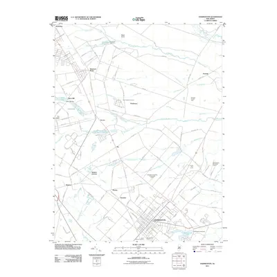
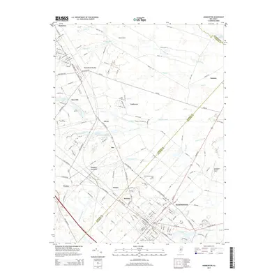
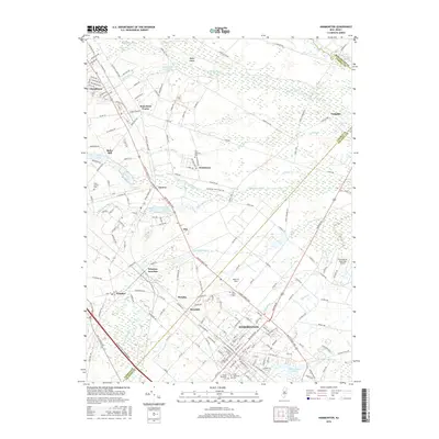
1984 Hammonton
Atlantic County, NJ
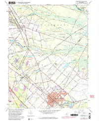
2011 Hammonton
Atlantic County, NJ
2014 Hammonton
Atlantic County, NJ
2016 Hammonton
Atlantic County, NJ
2019 Hammonton
Atlantic County, NJ

2023 Hammonton
Atlantic County, NJ
Featured Locations
- Vineland, NJ
- Cherry Hill Township, NJ
- Jackson Township, NJ
- Toms River, NJ
- Sicklerville, Winslow Township