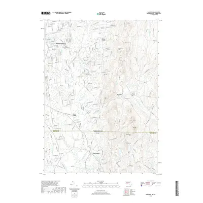
2018 Map of Hampden
USGS Topo · Published 2018About this map
The Scantic River flows through this 2018 survey, marking the landscape where the Pioneer Valley meets the Connecticut borderlands. This corner of Springfield and the town of Hampden showcase a transition from dense residential suburbanization to the wooded rises of Mt Vision and Pine Mtn. The map preserves the names of small historical hubs like Baptist Village and Mileoak Corner, alongside numerous family and community burial grounds including Prospect Hill Cem and the aptly named The Old Cem.
Find a feature on this map
191 named features on this map. Tap any name to fly to it.
Don’t see what you’re looking for? This feature index may not catch every label — zoom into the map to look around manually.
Map Details
Editions of this 2018 Hampden Map
This is the sole edition of this map. No revisions or reprints were ever made.
Other maps of this area

1886 · Springfield
USGS Topo · 1:62,500

1887 · Palmer
USGS Topo · 1:62,500

1889 · Springfield
USGS Topo · 1:62,500

1889 · Palmer
USGS Topo · 1:62,500

1892 · Hartford
USGS Topo · 1:62,500

1892 · Tolland
USGS Topo · 1:62,500

1893 · Springfield
USGS Topo · 1:62,500

1893 · Palmer
USGS Topo · 1:62,500

1895 · Springfield
USGS Topo · 1:62,500

1896 · Holyoke
USGS Topo · 1:125,000