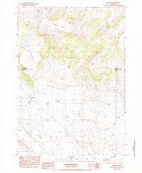
1983 Map of Hampton
USGS Topo · Published 1983About this map
Hampton sits at the center of this high-desert landscape, where the local economy and survival are defined by the critical search for water. The map documents a network of named springs and wells essential to ranching in the Hampton Buttes region, including the curiously named Old Maid Well and the Army Well. To the north, the terrain is marked by Rogers Table and Rogers Ridge, while the southern reaches fall away at Surprise Rim.
Find a feature on this map
27 named features on this map. Tap any name to fly to it.
Don’t see what you’re looking for? This feature index may not catch every label — zoom into the map to look around manually.
Map Details
Editions of this 1983 Hampton Map
This is the sole edition of this map. No revisions or reprints were ever made.
Other maps of this area

1955 · Crescent
USGS Topo · 1:250,000

1957 · Crescent
USGS Topo · 1:250,000

1958 · Crescent
USGS Topo · 1:250,000

1970 · Crescent
USGS Topo · 1:250,000

1983 · Potato Lake
USGS Topo · 1:24,000

1983 · Hampton Butte
USGS Topo · 1:24,000

1983 · Benjamin Lake
USGS Topo · 1:24,000

1983 · West of Hampton
USGS Topo · 1:24,000
1983 · G.I. Ranch
USGS Topo · 1:24,000
1983 · Long Barn
USGS Topo · 1:24,000