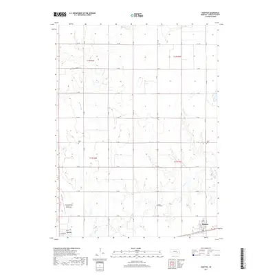
2017 Map of Hampton
USGS Topo · Published 2017About this map
The town of Aurora and the village of Hampton anchor this Hamilton County landscape, revealing the grid-based development of south-central Nebraska. The area is defined by the winding course of the Big Blue River and Lincoln Cr, which cut through the agricultural sections. Aviation history and local infrastructure are represented by the Aurora Municipal Airport - Al Potter Field, while the region's long-standing community roots are documented through several historic burial sites, including Salem Cem in the west, Lincoln Valley Cem near the center, and United Cem to the east. This survey captures the intersection of traditional township boundaries and the modern road network, from Donegal Rd to the numbered routes like E 14 Rd that partition the fertile plains.
Find a feature on this map
22 named features on this map. Tap any name to fly to it.
Don’t see what you’re looking for? This feature index may not catch every label — zoom into the map to look around manually.
Map Details
Editions of this 2017 Hampton Map
This is the sole edition of this map. No revisions or reprints were ever made.
Other maps of this area

1896 · Stromsburg
USGS Topo · 1:125,000

1898 · York
USGS Topo · 1:125,000

1898 · Grand Island
USGS Topo · 1:125,000

1899 · St. Paul
USGS Topo · 1:125,000

1899 · York
USGS Topo · 1:125,000

1955 · Broken Bow
USGS Topo · 1:250,000

1955 · Fremont
USGS Topo · 1:250,000

1955 · Lincoln
USGS Topo · 1:250,000

1955 · Grand Island
USGS Topo · 1:250,000

1956 · Broken Bow
USGS Topo · 1:250,000