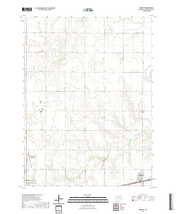
2021 Map of Hampton
USGS Topo · Published 2021About this map
The Big Blue River winds through the northwestern corner of this landscape, carving a path through the Hamilton County agricultural grid. This 2021 survey reveals a highly structured rural environment defined by an expansive network of numbered roads, including E 21 Rd and N S Rd, which facilitate movement between the region’s farming communities and its larger hubs. The town of Hampton sits in the southeast, characterized by its concentrated street plan and proximity to the railroad, while the eastern edge of Aurora appears in the southwest corner. Genealogists will find a cluster of significant sites for family history research, such as Salem Evangelical Cem, United Cem, Lincoln Valley Cem, and the Aurora Cem. The presence of the Aurora Municipal Airport - Al Potter Field highlights the area's modern infrastructure, situated just north of Donegal Rd and Woodland Rd.
Find a feature on this map
30 named features on this map. Tap any name to fly to it.
Don’t see what you’re looking for? This feature index may not catch every label — zoom into the map to look around manually.
Map Details
Editions of this 2021 Hampton Map
This is the sole edition of this map. No revisions or reprints were ever made.
Other maps of this area

1896 · Stromsburg
USGS Topo · 1:125,000

1898 · York
USGS Topo · 1:125,000

1898 · Grand Island
USGS Topo · 1:125,000

1899 · St. Paul
USGS Topo · 1:125,000

1899 · York
USGS Topo · 1:125,000

1955 · Broken Bow
USGS Topo · 1:250,000

1955 · Fremont
USGS Topo · 1:250,000

1955 · Lincoln
USGS Topo · 1:250,000

1955 · Grand Island
USGS Topo · 1:250,000

1956 · Broken Bow
USGS Topo · 1:250,000