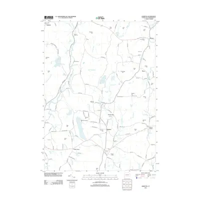
2012 Map of Hampton
USGS Topo · Published 2012About this map
The Natchaug River flows through this corner of Windham County, carving a path through a landscape defined by rolling hills and small village clusters. In the early 21st century, the area around Hampton remains distinctly rural, centered on historically significant crossroads like Clarks Corner and Howard Valley. The presence of numerous burial grounds, including the South Cem, North Cem, and Litchfield Cem, provides a clear map for genealogists tracing long-standing local families.
Find a feature on this map
155 named features on this map. Tap any name to fly to it.
Don’t see what you’re looking for? This feature index may not catch every label — zoom into the map to look around manually.
Map Details
Editions of this 2012 Hampton Map
This is the sole edition of this map. No revisions or reprints were ever made.
Other maps of this area

1889 · Putnam
USGS Topo · 1:62,500

1889 · Moosup
USGS Topo · 1:62,500

1892 · Woodstock
USGS Topo · 1:62,500

1892 · Norwich
USGS Topo · 1:62,500

1893 · Putnam
USGS Topo · 1:62,500

1893 · Moosup
USGS Topo · 1:62,500

1919 · Putnam
USGS Topo · 1:62,500

1920 · Moosup
USGS Topo · 1:62,500

1921 · Woodstock
USGS Topo · 1:62,500

1943 · Plainfield
USGS Topo · 1:31,680