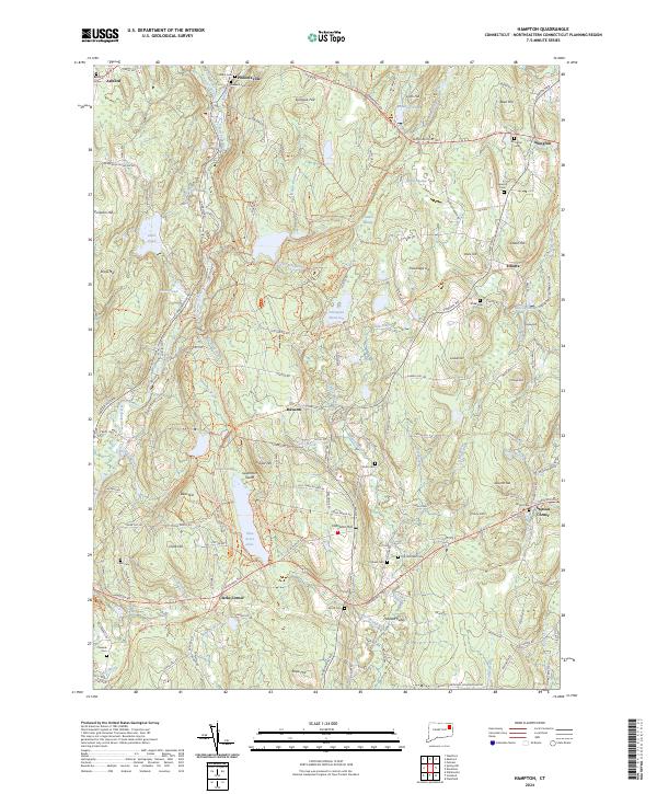
2024 Map of Hampton
USGS Topo · Published 2024About this map
Hampton Hill and the surrounding Windham County landscape are defined by a complex network of brooks and small settlements that speak to the region's agricultural and rural industrial past. The northern reaches are anchored by Phoenixville, where the Natchaug River meets Stones Brook, while the southeastern corner is marked by the crossroad at Stetson Corner. Genealogists will find a significant concentration of burial sites, including the General Lyon Cem, Old Litchfield Cem, and Chewink Cem, many of which sit near historic family-named landmarks like Benson Hill and Alworth Hill.
Find a feature on this map
126 named features on this map. Tap any name to fly to it.
Don’t see what you’re looking for? This feature index may not catch every label — zoom into the map to look around manually.
Map Details
Editions of this 2024 Hampton Map
This is the sole edition of this map. No revisions or reprints were ever made.
Other maps of this area

1889 · Putnam
USGS Topo · 1:62,500

1889 · Moosup
USGS Topo · 1:62,500

1892 · Woodstock
USGS Topo · 1:62,500

1892 · Norwich
USGS Topo · 1:62,500

1893 · Putnam
USGS Topo · 1:62,500

1893 · Moosup
USGS Topo · 1:62,500

1919 · Putnam
USGS Topo · 1:62,500

1920 · Moosup
USGS Topo · 1:62,500

1921 · Woodstock
USGS Topo · 1:62,500

1943 · Plainfield
USGS Topo · 1:31,680