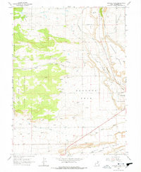
1965 Map of Hancock Cove
USGS Topo · Published 1978About this map
The Hancock Cove region in eastern Utah is defined by a sophisticated network of water management, vital for supporting life on the elevated plateaus of the Uintah Basin. This mid-1960s survey illustrates a landscape carved into distinct levels like Harmston Bench and Page Bench, where numerous Canals, Laterals, and even a Siphon redistribute water from Cottonwood Creek and Dry Gulch Creek.
Find a feature on this map
32 named features on this map. Tap any name to fly to it.
Don’t see what you’re looking for? This feature index may not catch every label — zoom into the map to look around manually.
Map Details
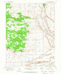
Editions of this 1965 Hancock Cove Map
2 editions found
Other maps of this area

1885 · Ashley
USGS Topo · 1:250,000

1885 · Uinta
USGS Topo · 1:250,000

1917 · Vernal
USGS Topo · 1:125,000

1939 · Duchesne
USGS Topo · 1:125,000

1954 · Salt Lake City
USGS Topo · 1:250,000

1954 · Vernal
USGS Topo · 1:250,000

1958 · Vernal
USGS Topo · 1:250,000

1958 · Salt Lake City
USGS Topo · 1:250,000

1960 · Salt Lake City
USGS Topo · 1:250,000

1960 · Vernal
USGS Topo · 1:250,000