
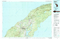
1961 Map of Hancock
USGS Topo · Published 1961About this map
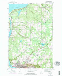
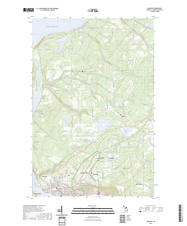
Houghton and Hancock anchor the Keweenaw Peninsula during a period of established copper country infrastructure. This 1961 edition illustrates the dense network of industrial and mining settlements that defined the region, including Atlantic Mine, Painesdale, and Trimountain. The Soo Line railroad connects these inland communities to the ports along Portage Lake and Torch Lake. Northward, the landscape shifts toward the maritime hazards of Lake Superior, marked by the Eagle Harbor Lighthouse and Gull Rock Lighthouse.
Find a feature on this map
165 named features on this map. Tap any name to fly to it.
Don’t see what you’re looking for? This feature index may not catch every label — zoom into the map to look around manually.
Map Details
Editions of this 1961 Hancock Map
This is the sole edition of this map. No revisions or reprints were ever made.
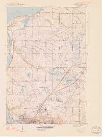
Historical Maps of Houghton Through Time
13 maps found
1946 Hancock
Houghton County, MI
1948 Hancock
Houghton County, MI
1958 Hancock
Houghton County, MI

1960 Hancock
Houghton County, MI
1961 Hancock
Houghton County, MI

1966 Hancock
Houghton County, MI
1978 Hancock
Houghton County, MI
1985 Hancock
Houghton County, MI
2011 Hancock
Houghton County, MI
2014 Hancock
Houghton County, MI
2017 Hancock
Houghton County, MI
2019 Hancock
Houghton County, MI
2023 Hancock
Houghton County, MI