
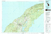
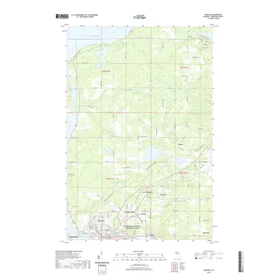
1966 Map of Hancock
USGS Topo · Published 1987About this map
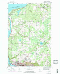
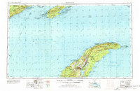
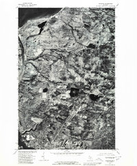
Hancock and Houghton anchor this mid-1960s survey of the Keweenaw Peninsula, where the legacy of copper mining is etched across the landscape in settlements like Atlantic Mine and Painesdale. The map follows the spine of the peninsula northeast to its tip at Copper Harbor, documenting the network of lighthouses essential for Lake Superior navigation, including Eagle Harbor Lighthouse and Manitou Island Lighthouse. Across the water, the wilderness of Isle Royale National Park is shown in detail, from the heights of Mt Desor to the isolated Rock of Ages Light. Transportation corridors like the Soo Line railroad and Us 41 connect the industrial centers of Calumet and Laurium to the remote northern reaches of the peninsula. This edition reflects a period of transition as historical sites like Fort Wilkins and lakefront recreational areas gained prominence alongside the region's enduring maritime and extraction industries.
Find a feature on this map
171 named features on this map. Tap any name to fly to it.
Don’t see what you’re looking for? This feature index may not catch every label — zoom into the map to look around manually.
Map Details
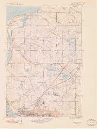
Editions of this 1966 Hancock Map
This is the sole edition of this map. No revisions or reprints were ever made.
Historical Maps of Houghton Through Time
13 maps found
1946 Hancock
Houghton County, MI
1948 Hancock
Houghton County, MI
1958 Hancock
Houghton County, MI

1960 Hancock
Houghton County, MI

1961 Hancock
Houghton County, MI
1966 Hancock
Houghton County, MI
1978 Hancock
Houghton County, MI
1985 Hancock
Houghton County, MI
2011 Hancock
Houghton County, MI
2014 Hancock
Houghton County, MI
2017 Hancock
Houghton County, MI
2019 Hancock
Houghton County, MI
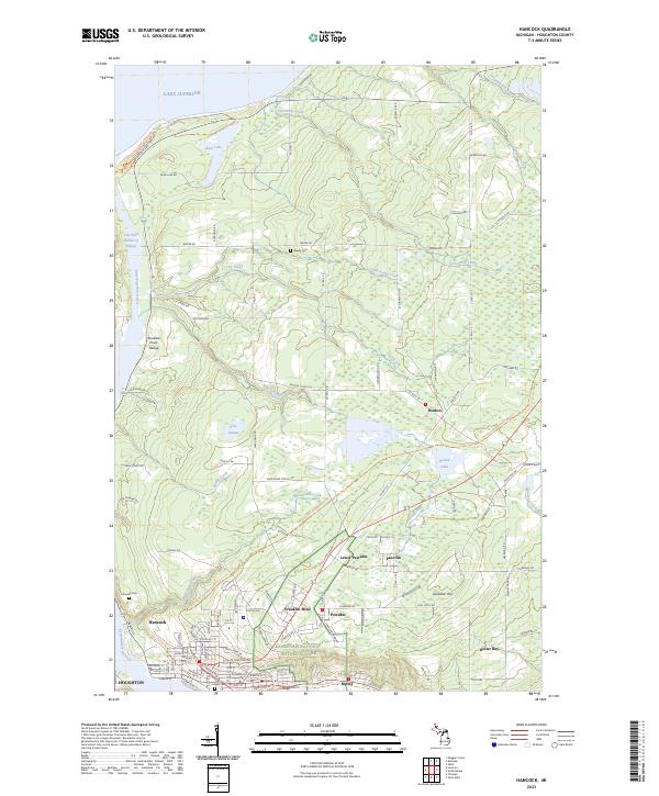
2023 Hancock
Houghton County, MI