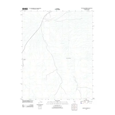
2012 Map of Hancock Summit
USGS Topo · Published 2012About this map
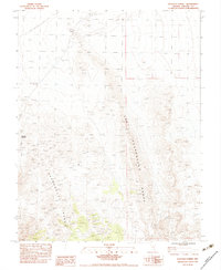
Mount Irish Range dominates the eastern horizon of this Lincoln County quadrangle, a testament to the basin and range geology of the Nevada desert. In 2012, this landscape remained largely defined by its natural water sources and topographical landmarks rather than urban development. The presence of Cow Camp Spring indicates a critical point for local land use and hydrology, likely serving as a vital stop in an otherwise arid environment. Travelers through this high-desert terrain navigate the passage at Hancock Summit, where the road skirts the foothills of the limestone peaks. The map illustrates the sparse infrastructure characteristic of the Great Basin, focusing on the essential relationship between elevation and the few dependable springs that sustain the region.
Find a feature on this map
3 named features on this map. Tap any name to fly to it.
Don’t see what you’re looking for? This feature index may not catch every label — zoom into the map to look around manually.
Map Details
Editions of this 2012 Hancock Summit Map
This is the sole edition of this map. No revisions or reprints were ever made.
Other maps of this area

1945 · Alamo
USGS Topo · 1:125,000

1954 · Caliente
USGS Topo · 1:250,000

1959 · Caliente
USGS Topo · 1:250,000

1969 · Alamo
USGS Topo · 1:24,000

1969 · Ash Springs
USGS Topo · 1:24,000

1970 · Hiko
USGS Topo · 1:24,000
1980 · Alamo
USGS Topo · 1:24,000
1983 · Cutler Reservoir
USGS Topo · 1:24,000
1983 · Crescent Reservoir
USGS Topo · 1:24,000
1983 · Hancock Summit
USGS Topo · 1:24,000