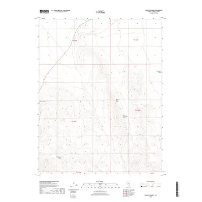
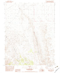
2018 Map of Hancock Summit
USGS Topo · Published 2018About this map
The Mount Irish Range and East Pahranagat Range dominate this desert landscape in Lincoln County. This 2018 survey details the high-altitude topography of the region, anchored by the prominent Hancock Summit where the terrain descends into the Pahranagat Valley. Human activity in this arid environment is historically tied to reliable water sources, represented here by the isolated Cow Camp Spring located north of the peaks. The map provides a clear look at the township and range survey lines, including t6s r59e and t5s r60e, which define the land divisions across the Pahranagat Range. It serves as a modern record of a largely undeveloped portion of the Great Basin, where elevation and hydrology have long dictated passage and land use.
Find a feature on this map
11 named features on this map. Tap any name to fly to it.
Don’t see what you’re looking for? This feature index may not catch every label — zoom into the map to look around manually.
Map Details
Editions of this 2018 Hancock Summit Map
This is the sole edition of this map. No revisions or reprints were ever made.
Other maps of this area

1945 · Alamo
USGS Topo · 1:125,000

1954 · Caliente
USGS Topo · 1:250,000

1959 · Caliente
USGS Topo · 1:250,000

1969 · Alamo
USGS Topo · 1:24,000

1969 · Ash Springs
USGS Topo · 1:24,000

1970 · Hiko
USGS Topo · 1:24,000
1980 · Alamo
USGS Topo · 1:24,000
1983 · Cutler Reservoir
USGS Topo · 1:24,000
1983 · Crescent Reservoir
USGS Topo · 1:24,000
1983 · Hancock Summit
USGS Topo · 1:24,000