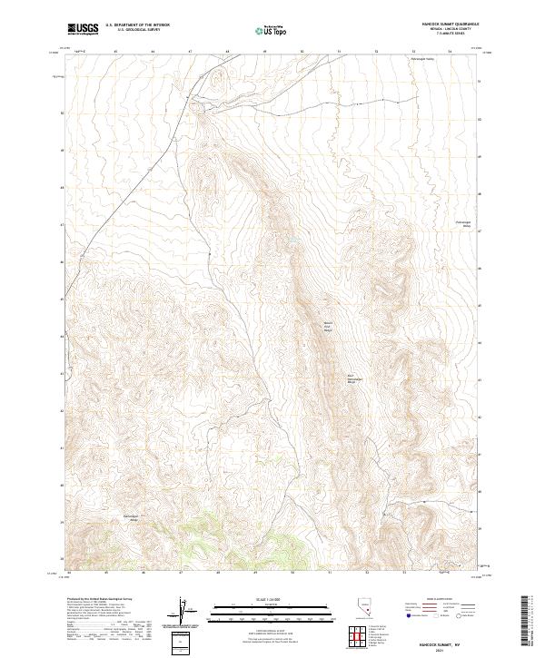
2021 Map of Hancock Summit
USGS Topo · Published 2021About this map
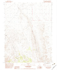
Pahranagat Valley and its surrounding mountain chains dominate this 2021 landscape in Lincoln County. The topographic survey documents the high-desert transition from the valley floor into the steep elevations of the Mount Irish Range and the East Pahranagat Range. These North American Vertical Datum of 1988 measurements clarify the complex drainage patterns and relief across a terrain defined by basin-and-range geology. While the valley itself supports agricultural and transit corridors, the eastern and southern edges are defined by the sharp rise of the Pahranagat Range. Water sources are few in this arid environment, making individual features like Cow Camp Spring significant for livestock and local land use within the t6s r59e and adjacent township blocks.
Find a feature on this map
10 named features on this map. Tap any name to fly to it.
Don’t see what you’re looking for? This feature index may not catch every label — zoom into the map to look around manually.
Map Details
Editions of this 2021 Hancock Summit Map
This is the sole edition of this map. No revisions or reprints were ever made.
Other maps of this area

1945 · Alamo
USGS Topo · 1:125,000

1954 · Caliente
USGS Topo · 1:250,000

1959 · Caliente
USGS Topo · 1:250,000

1969 · Alamo
USGS Topo · 1:24,000

1969 · Ash Springs
USGS Topo · 1:24,000

1970 · Hiko
USGS Topo · 1:24,000
1980 · Alamo
USGS Topo · 1:24,000
1983 · Cutler Reservoir
USGS Topo · 1:24,000
1983 · Crescent Reservoir
USGS Topo · 1:24,000
1983 · Hancock Summit
USGS Topo · 1:24,000