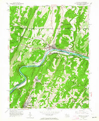
1951 Map of Hancock
USGS Topo · Published 1964About this map
Hancock serves as a pivotal crossing point where the Potomac River separates Maryland from West Virginia, with the Mason and Dixon Line marking the northern border with Pennsylvania. This mid-century survey reveals a complex transportation corridor dominated by the Baltimore and Ohio RR and Western Maryland RR tracks flanking the river. Parallel to these routes, the Chesapeake and Ohio Canal (Abandoned) remains a visible fixture of earlier commerce.
Find a feature on this map
75 named features on this map. Tap any name to fly to it.
Don’t see what you’re looking for? This feature index may not catch every label — zoom into the map to look around manually.
Map Details
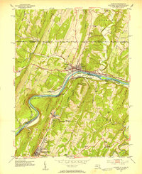
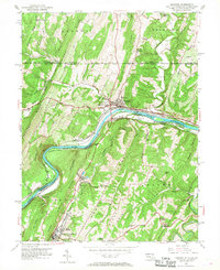
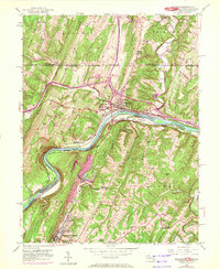
Editions of this 1951 Hancock Map
4 editions found
Other maps of this area

1898 · Paw Paw
USGS Topo · 1:62,500

1899 · Hancock
USGS Topo · 1:62,500

1900 · Pawpaw
USGS Topo · 1:62,500

1901 · Hancock
USGS Topo · 1:62,500

1910 · Paw Paw
USGS Topo · 1:62,500

1925 · Needmore
USGS Topo · 1:48,000

1927 · Clearville
USGS Topo · 1:48,000

1931 · Clearville
USGS Topo · 1:62,500

1935 · Needmore
USGS Topo · 1:62,500

1939 · Needmore
USGS Topo · 1:62,500
Featured Places
- Hancock, MD
- Berkeley Springs, Bath (Berkeley Springs)
- Stanley, MD
- Sphors Crossroads, WV
- Bethel Township, PA