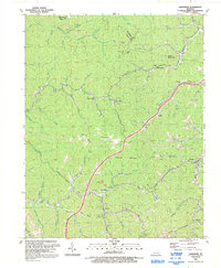
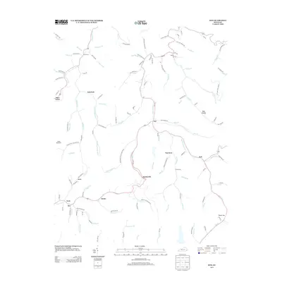
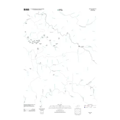
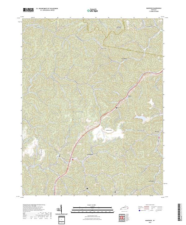
1992 Map of Handshoe
USGS Topo · Published 1992About this map
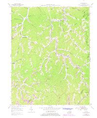
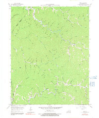
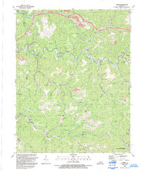
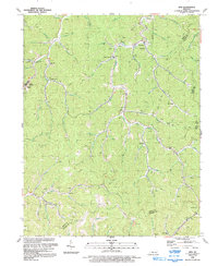
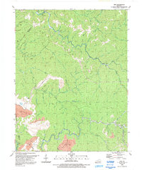
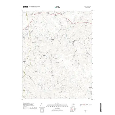
Handshoe and its neighboring hollows in the eastern coalfield of Kentucky are depicted here just as the late-century energy landscape was maturing. The terrain is defined by the winding paths of Rock Fork and Balls Fork, along which several small communities and churches like Saltlick Ch and the Rockford Ch are established. Education and local governance are anchored by the Upper Quicksand Sch, while the rugged geography is marked by Yellow Mountain and Chestnut Mountain.
Find a feature on this map
70 named features on this map. Tap any name to fly to it.
Don’t see what you’re looking for? This feature index may not catch every label — zoom into the map to look around manually.
Map Details
Editions of this 1992 Handshoe Map
This is the sole edition of this map. No revisions or reprints were ever made.
Historical Maps of Mousie Through Time
29 maps found
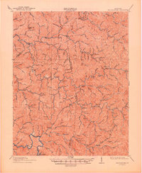
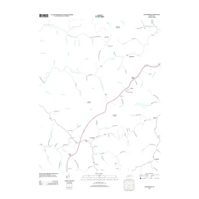
1914 Troublesome
Knott County, KY
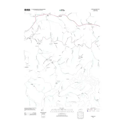
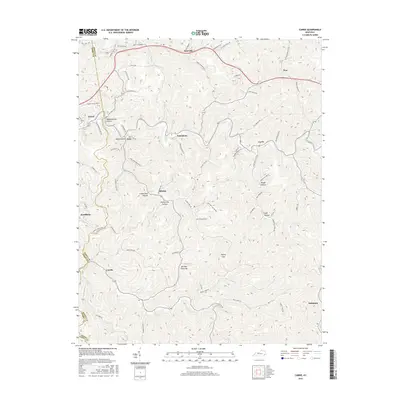
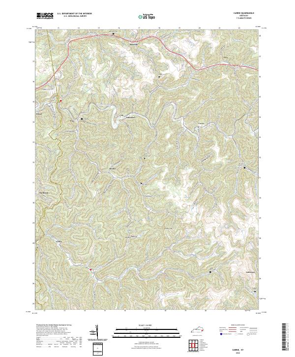
1954 Carrie
Knott County, KY
1954 Handshoe
Knott County, KY
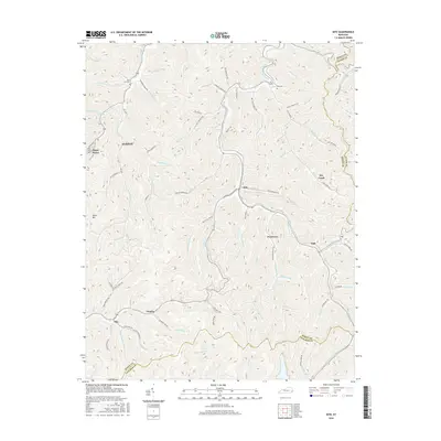
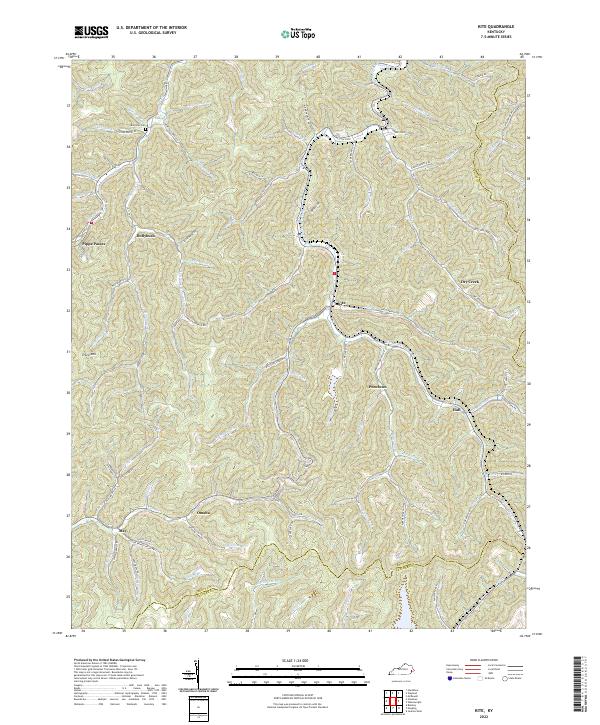
1954 Kite
Knott County, KY
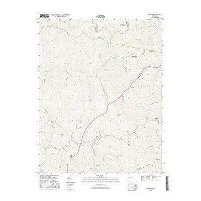
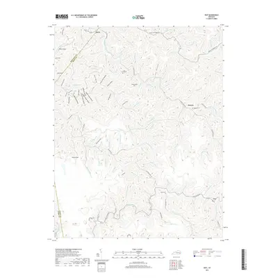
1954 Vest
Knott County, KY
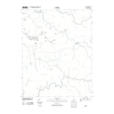
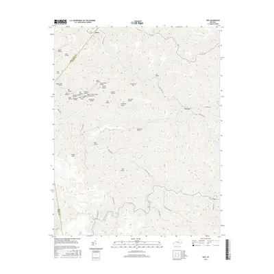
1992 Carrie
Knott County, KY
1992 Handshoe
Knott County, KY
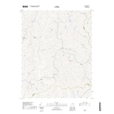
1992 Kite
Knott County, KY
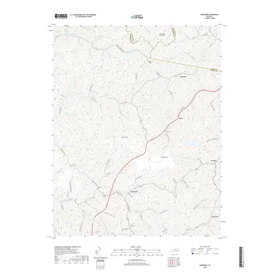
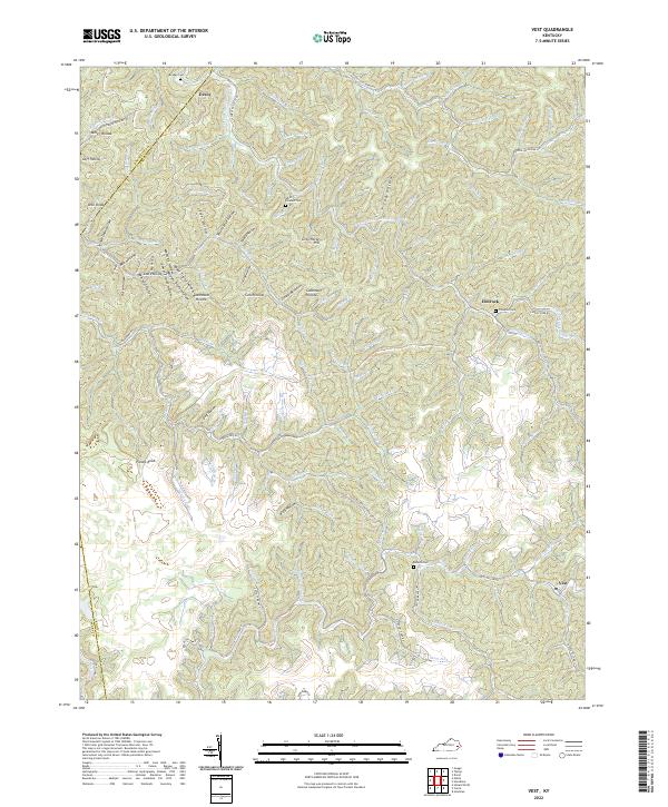
1992 Vest
Knott County, KY
2010 Carrie
Knott County, KY
2010 Handshoe
Knott County, KY
2010 Kite
Knott County, KY
2010 Vest
Knott County, KY
2013 Carrie
Knott County, KY
2013 Handshoe
Knott County, KY
2013 Kite
Knott County, KY
2013 Vest
Knott County, KY
2016 Carrie
Knott County, KY
2016 Handshoe
Knott County, KY
2016 Kite
Knott County, KY
2016 Vest
Knott County, KY
2019 Carrie
Knott County, KY
2019 Handshoe
Knott County, KY
2019 Kite
Knott County, KY
2019 Vest
Knott County, KY
2022 Carrie
Knott County, KY
2022 Handshoe
Knott County, KY
2022 Kite
Knott County, KY
2022 Vest
Knott County, KY