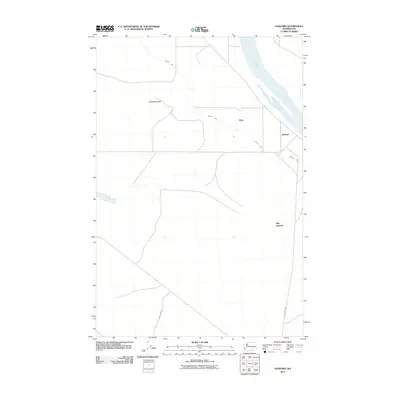
2011 Map of Hanford
USGS Topo · Published 2011About this map
The Columbia River defines the northeastern boundary of this landscape, its waters flowing past the historical site of Hanford. The terrain is marked by the presence of Gable Mountain and the distinct path of the Hanford Ditch, which cuts across the central portion of the quadrangle. Transportation and access are defined by Army Loop Rd and Glade North Rd, reflecting the area's specialized use and layout. Small named points such as Edna and May Junction provide specific reference points within this controlled environment. The map illustrates a unique combination of significant natural river systems and large-scale infrastructure, documenting the layout of this specific portion of Benton County as it existed in the early 21st century.
Find a feature on this map
8 named features on this map. Tap any name to fly to it.
Don’t see what you’re looking for? This feature index may not catch every label — zoom into the map to look around manually.
Map Details
Editions of this 2011 Hanford Map
This is the sole edition of this map. No revisions or reprints were ever made.
Other maps of this area

1915 · Prosser
USGS Topo · 1:125,000

1916 · Coyote Rapids
USGS Topo · 1:62,500

1917 · Pasco
USGS Topo · 1:125,000

1917 · Prosser
USGS Topo · 1:125,000

1924 · Hanford
USGS Topo · 1:62,500

1951 · Richland
USGS Topo · 1:62,500

1951 · Hanford
USGS Topo · 1:62,500

1951 · Corral Canyon
USGS Topo · 1:62,500

1951 · Coyote Rapids
USGS Topo · 1:62,500

1953 · Walla Walla
USGS Topo · 1:250,000