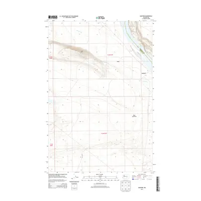
2013 Map of Hanford
USGS Topo · Published 2013About this map
The Columbia River defines the northeastern boundary of this landscape, separating the rugged elevations of Gable Mtn from the riverbank flats. This region is characterized by an extensive irrigation and transit network, including the Hanford Ditch which cuts through the central terrain. While the area is noted for its federal history, the map focuses on the physical infrastructure of the early 21st century, showing the proximity of Hanford to transportation hubs like May Junction and Edna.
Find a feature on this map
13 named features on this map. Tap any name to fly to it.
Don’t see what you’re looking for? This feature index may not catch every label — zoom into the map to look around manually.
Map Details
Editions of this 2013 Hanford Map
This is the sole edition of this map. No revisions or reprints were ever made.
Other maps of this area

1915 · Prosser
USGS Topo · 1:125,000

1916 · Coyote Rapids
USGS Topo · 1:62,500

1917 · Pasco
USGS Topo · 1:125,000

1917 · Prosser
USGS Topo · 1:125,000

1924 · Hanford
USGS Topo · 1:62,500

1951 · Richland
USGS Topo · 1:62,500

1951 · Hanford
USGS Topo · 1:62,500

1951 · Corral Canyon
USGS Topo · 1:62,500

1951 · Coyote Rapids
USGS Topo · 1:62,500

1953 · Walla Walla
USGS Topo · 1:250,000