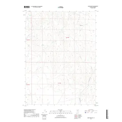
2018 Map of Hanks Creek SW
USGS Topo · Published 2018About this map
Charleston-Deeth Co Rd serves as the primary artery through this high-elevation landscape in Elko County, Nevada. The terrain is defined by a series of drainage networks that originate near the Mallard Hills, including the headwaters of S Fork Hanks Cr and Pole Cr. This 2018 survey reveals a territory where water sources are vital landmarks, notably at Horse Creek Spring, Union Spring, and Union Spring Two. The mapping of these specific water points alongside Indian Cr and Cottonwood Cr reflects the ongoing importance of reliable springs for livestock and land management in this arid Great Basin environment. The grid-like division of public lands is clearly marked by the boundaries of T40N and T39N, framing a remote section of the county known for its high ridges and ephemeral stream beds.
Find a feature on this map
14 named features on this map. Tap any name to fly to it.
Don’t see what you’re looking for? This feature index may not catch every label — zoom into the map to look around manually.
Map Details
Editions of this 2018 Hanks Creek SW Map
This is the sole edition of this map. No revisions or reprints were ever made.
Other maps of this area

1955 · Wells
USGS Topo · 1:250,000

1958 · Wells
USGS Topo · 1:250,000

1961 · Wells
USGS Topo · 1:250,000

1967 · Hanks Creek SW
USGS Topo · 1:24,000

1967 · Hot Springs Creek
USGS Topo · 1:24,000

1967 · Twin Buttes
USGS Topo · 1:24,000

1967 · Stag Mountain
USGS Topo · 1:24,000

1967 · Peko Peak
USGS Topo · 1:24,000

1967 · Hanks Creek NE
USGS Topo · 1:24,000

1971 · Devils Armchair
USGS Topo · 1:24,000