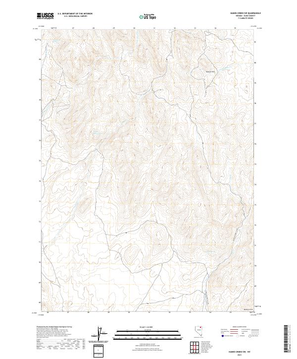
2021 Map of Hanks Creek SW
USGS Topo · Published 2021About this map
The high desert landscape of Mallard Hills dominates this portion of Elko County, defined by a network of drainage systems and isolated water sources essential for life in the Great Basin. The terrain is marked by seasonal and perennial flows including Horse Cr, Cottonwood Cr, and Indian Cr, which carve through the high-elevation flats. Of particular interest to local historians are the named water points such as Horse Creek Spring, Union Spring, and Union Spring Two, which historically served as vital landmarks for livestock and travel. Human infrastructure is minimal, centered primarily on the Charleston-Deeth Co Rd, a thoroughfare that facilitates transit through the open range. The map illustrates a classic Nevada basin-and-range pattern, where the accessibility of water at specific springs dictated the movement of people and animals across the high country.
Find a feature on this map
15 named features on this map. Tap any name to fly to it.
Don’t see what you’re looking for? This feature index may not catch every label — zoom into the map to look around manually.
Map Details
Editions of this 2021 Hanks Creek SW Map
This is the sole edition of this map. No revisions or reprints were ever made.
Other maps of this area

1955 · Wells
USGS Topo · 1:250,000

1958 · Wells
USGS Topo · 1:250,000

1961 · Wells
USGS Topo · 1:250,000

1967 · Hanks Creek SW
USGS Topo · 1:24,000

1967 · Hot Springs Creek
USGS Topo · 1:24,000

1967 · Twin Buttes
USGS Topo · 1:24,000

1967 · Stag Mountain
USGS Topo · 1:24,000

1967 · Peko Peak
USGS Topo · 1:24,000

1967 · Hanks Creek NE
USGS Topo · 1:24,000

1971 · Devils Armchair
USGS Topo · 1:24,000