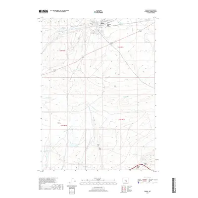
2017 Map of Hanna
USGS Topo · Published 2017About this map
The town of Hanna sits at the northern edge of this high-desert landscape in Carbon County, Wyoming. This modern survey illustrates the settlement's infrastructure and its relationship with the surrounding terrain, including the local Hanna Cem and a network of named streets like Main St and Collamer St. Traces of earlier transportation routes appear via the Old Lincoln Hwy, which skirts the northern boundary near the artificial water systems of Big Ditch and Standpipe Draw.
Find a feature on this map
39 named features on this map. Tap any name to fly to it.
Don’t see what you’re looking for? This feature index may not catch every label — zoom into the map to look around manually.
Map Details
Editions of this 2017 Hanna Map
This is the sole edition of this map. No revisions or reprints were ever made.
Other maps of this area

1893 · Fort Steele
USGS Topo · 1:125,000

1914 · Hanna
USGS Topo · 1:62,500

1914 · Saddleback Hills
USGS Topo · 1:62,500

1921 · Saddleback Hills
USGS Topo · 1:62,500

1954 · Rawlins
USGS Topo · 1:250,000

1955 · Coal Bank Basin
USGS Topo · 1:24,000

1955 · Elk Mountain
USGS Topo · 1:24,000

1955 · Rattlesnake Pass
USGS Topo · 1:24,000

1958 · Rawlins
USGS Topo · 1:250,000

1962 · Rawlins
USGS Topo · 1:250,000