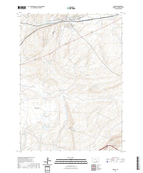
2021 Map of Hanna
USGS Topo · Published 2021About this map
Hanna sits at the northern edge of this high-desert landscape, defined by a series of significant water management features and ridgelines. The town center is detailed with local thoroughfares like Main St and Adams St, situated near the Hanna Cem and the prominent Standpipe Draw. To the south, the terrain becomes increasingly complex, transitioning into the Sand Hills and rising toward Wilson Ridge and the southern Halleck Ridge. The map documents a critical network of reservoirs and springs, including Kinney Reservoir, Martinez Reservoir, and Martinez Springs, which support the dry Carbon County environment. This high-altitude drainage pattern is further illustrated by features like Percy Cr and Limburger Spring, while the historic route of the Old Lincoln Hwy underscores the area's role in transcontinental travel and local development.
Find a feature on this map
37 named features on this map. Tap any name to fly to it.
Don’t see what you’re looking for? This feature index may not catch every label — zoom into the map to look around manually.
Map Details
Editions of this 2021 Hanna Map
This is the sole edition of this map. No revisions or reprints were ever made.
Other maps of this area

1893 · Fort Steele
USGS Topo · 1:125,000

1914 · Hanna
USGS Topo · 1:62,500

1914 · Saddleback Hills
USGS Topo · 1:62,500

1921 · Saddleback Hills
USGS Topo · 1:62,500

1954 · Rawlins
USGS Topo · 1:250,000

1955 · Coal Bank Basin
USGS Topo · 1:24,000

1955 · Elk Mountain
USGS Topo · 1:24,000

1955 · Rattlesnake Pass
USGS Topo · 1:24,000

1958 · Rawlins
USGS Topo · 1:250,000

1962 · Rawlins
USGS Topo · 1:250,000