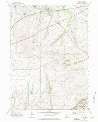
1971 Map of Hanna
USGS Topo · Published 1975About this map
Hanna anchors this high-plains landscape, where the energy industry and rail transport define the local geography during the early 1970s. The town's industrial identity is etched into the terrain through features like the Union Pacific line, a coal Tipple, and several large sewage disposal ponds. A poignant reminder of the area's hazardous labor history is preserved at the Mine Disaster Memorial near the town center.
Find a feature on this map
40 named features on this map. Tap any name to fly to it.
Don’t see what you’re looking for? This feature index may not catch every label — zoom into the map to look around manually.
Map Details
Editions of this 1971 Hanna Map
2 editions found
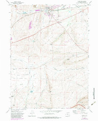
Other maps of this area

1893 · Fort Steele
USGS Topo · 1:125,000

1914 · Hanna
USGS Topo · 1:62,500

1914 · Saddleback Hills
USGS Topo · 1:62,500

1921 · Saddleback Hills
USGS Topo · 1:62,500

1954 · Rawlins
USGS Topo · 1:250,000

1955 · Coal Bank Basin
USGS Topo · 1:24,000

1955 · Elk Mountain
USGS Topo · 1:24,000

1955 · Rattlesnake Pass
USGS Topo · 1:24,000

1958 · Rawlins
USGS Topo · 1:250,000

1962 · Rawlins
USGS Topo · 1:250,000