
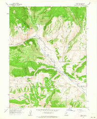
1962 Map of Hanna
USGS Topo · Published 1963About this map
The Duchesne River corridor defines this mountain landscape, serving as the primary artery for settlement and movement in the early 1960s. The village of Hanna anchors the valley, supported by infrastructure like the nearby Pumping Station and the Stockmore Ranger Station. This area is a patchwork of administrative boundaries, where the Ashley National Forest meets the Uintah and Ouray Indian Reservation, marked by the Old Indian Treaty Boundary. Notable landforms such as Tabby Mountain, The Mesa, and The Hens Nest break the high-elevation terrain. Historical routes like Wagon Road Ridge and various named jeep trails suggest a legacy of ranching and timber access, while natural landmarks such as Natural Arch and Warm Springs highlight the unique geology of the Uinta Basin's western edge.
Find a feature on this map
37 named features on this map. Tap any name to fly to it.
Don’t see what you’re looking for? This feature index may not catch every label — zoom into the map to look around manually.
Map Details
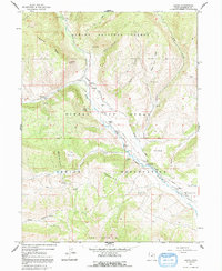
Editions of this 1962 Hanna Map
3 editions found
Other maps of this area

1885 · Uinta
USGS Topo · 1:250,000

1901 · Hayden Peak
USGS Topo · 1:125,000

1903 · Hayden Peak
USGS Topo · 1:125,000

1954 · Salt Lake City
USGS Topo · 1:250,000

1958 · Salt Lake City
USGS Topo · 1:250,000

1960 · Salt Lake City
USGS Topo · 1:250,000
1962 · Wolf Creek
USGS Topo · 1:24,000

1962 · Tabiona
USGS Topo · 1:24,000

1962 · Raspberry Knoll
USGS Topo · 1:24,000
1962 · Tabby Mountain
USGS Topo · 1:24,000