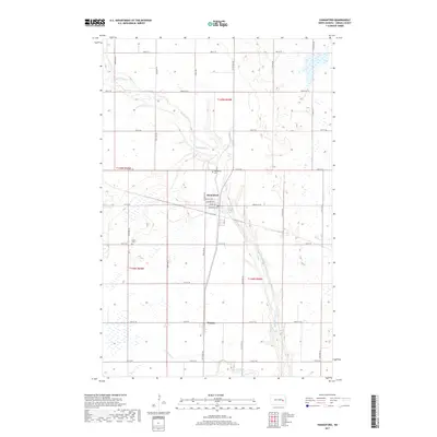
2017 Map of Hannaford
USGS Topo · Published 2017About this map
Hannaford serves as the primary hub of this Griggs County landscape, characterized by the meandering path of Baldhill Creek as it cuts through the prairie. The settlement layout is defined by a traditional grid of streets including Bridge Ave, Leavitt Ave, and Langdon Ave. Further south, the community of Walum sits along Co Rd 28, marking another point of local connection. For genealogists and local historians, the placement of Hannaford Cem and the Lyster Cem provides specific points for family research. The terrain is marked by seasonal wetlands and small watercourses like Silver Creek and Gunderson Cr, which drain into the larger Baldhill system. This survey reflects the enduring agricultural organization of the region, where a dense network of county roads like Griggs Co 22 and Griggs Co 26 maintains the connectivity between isolated farmsteads and the central rail-aligned townships.
Find a feature on this map
29 named features on this map. Tap any name to fly to it.
Don’t see what you’re looking for? This feature index may not catch every label — zoom into the map to look around manually.
Map Details
Editions of this 2017 Hannaford Map
This is the sole edition of this map. No revisions or reprints were ever made.
Other maps of this area

1952 · New Rockford
USGS Topo · 1:250,000

1956 · New Rockford
USGS Topo · 1:250,000

1961 · Cooperstown East
USGS Topo · 1:24,000

1961 · Revere
USGS Topo · 1:24,000

1961 · Hannaford
USGS Topo · 1:24,000

1961 · Wimbledon NE
USGS Topo · 1:24,000

1961 · Cooperstown West
USGS Topo · 1:24,000

1961 · Sutton NE
USGS Topo · 1:24,000

1961 · Dazey NE
USGS Topo · 1:24,000

1961 · Dazey
USGS Topo · 1:24,000