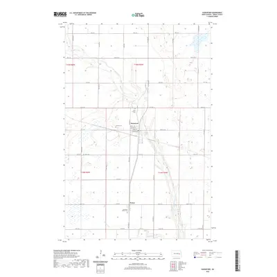
2024 Map of Hannaford
USGS Topo · Published 2024About this map
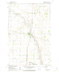
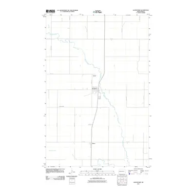
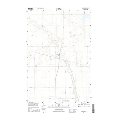
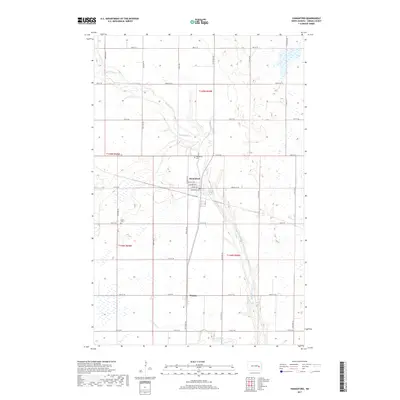
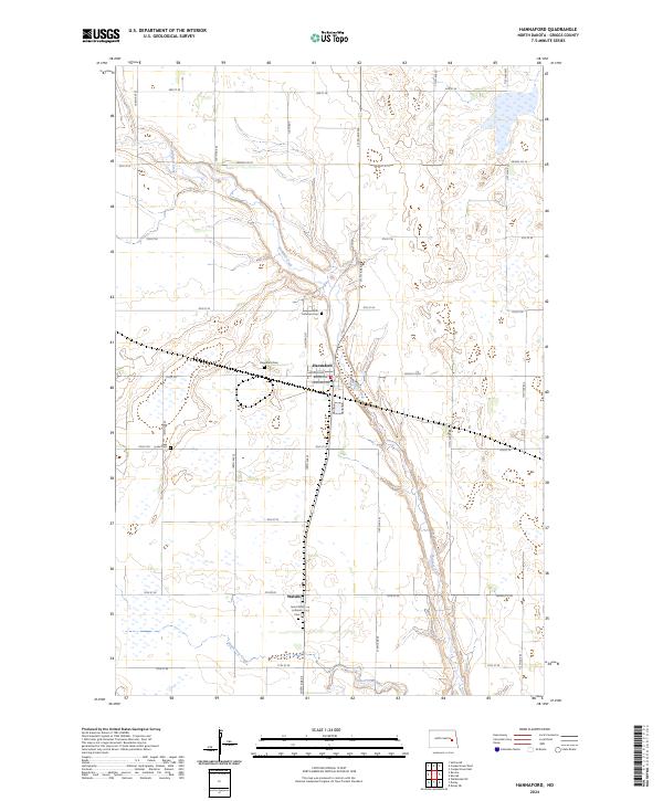
Hannaford and the smaller community of Walum anchor this prairie landscape in Griggs County, where the topography is defined by the winding course of Baldhill Creek. The map documents a classic North Dakota agricultural pattern of section-line roads like 8th St SE and 10th St SE interspersed with numerous small wetlands and sloughs. Of particular interest to local historians are the four distinct burial sites including Saint Olafs Lutheran Cem and Faith Lutheran Cem, which speak to the area's denominational heritage.
Find a feature on this map
30 named features on this map. Tap any name to fly to it.
Don’t see what you’re looking for? This feature index may not catch every label — zoom into the map to look around manually.
Map Details
Editions of this 2024 Hannaford Map
This is the sole edition of this map. No revisions or reprints were ever made.
Historical Maps of Hannaford Through Time
6 maps found