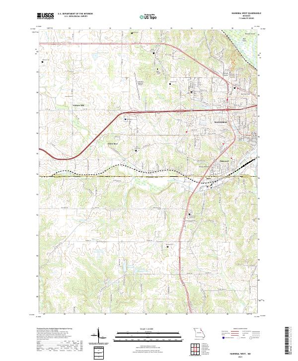
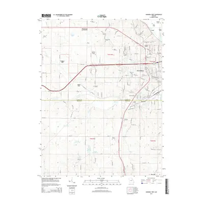
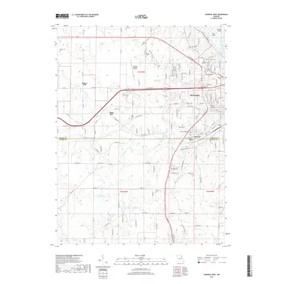
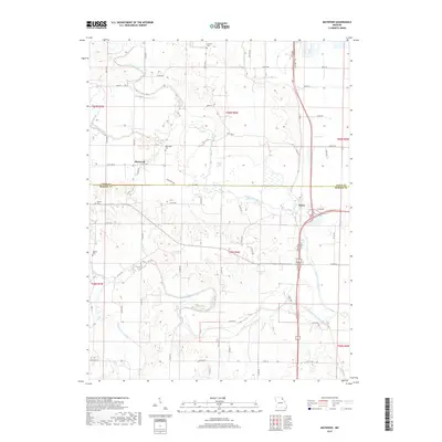
2021 Map of Hannibal West
USGS Topo · Published 2021About this map
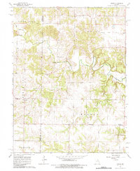
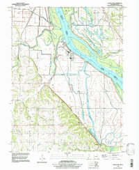
The western outskirts of Hannibal reveal a transition from the urban core toward the rolling hills of the Mississippi River valley. This 2021 landscape is anchored by educational and infrastructure hubs, notably the Hannibal-LaGrange University campus and College Heights to the northeast, while the Hannibal Regional Airport occupies a central plateau. Significant cemetery sites like Saint Marys Cem, Mount Zion Cem, and the extensive Grand View Burial Park provide valuable landmarks for local historians and genealogists.
Find a feature on this map
150 named features on this map. Tap any name to fly to it.
Don’t see what you’re looking for? This feature index may not catch every label — zoom into the map to look around manually.
Map Details
Editions of this 2021 Hannibal West Map
This is the sole edition of this map. No revisions or reprints were ever made.
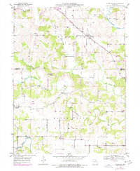
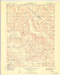
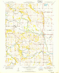
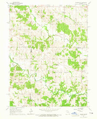
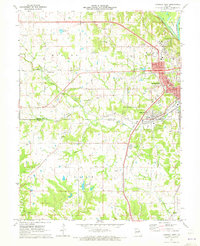
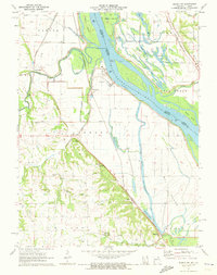
Historical Maps of Hannibal Through Time
33 maps found
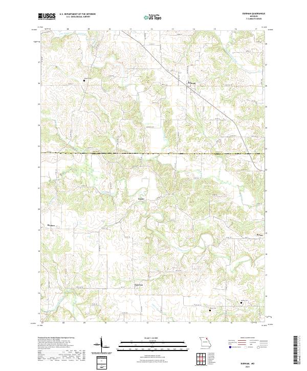
1949 Durham
Marion County, MO

1949 Maywood
Marion County, MO
1950 Durham
Marion County, MO
1950 Maywood
Marion County, MO
1964 Emden
Marion County, MO
1964 Nelsonville
Marion County, MO
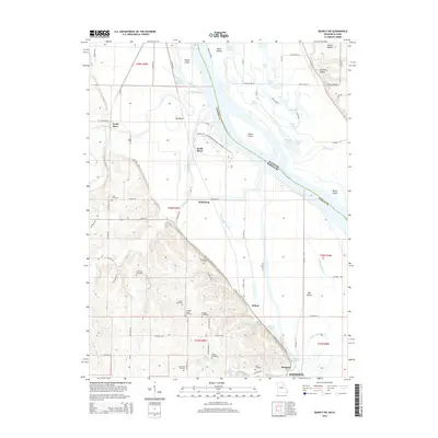
1971 Hannibal West
Marion County, MO
1971 Quincy SW
Marion County, MO
1996 Quincy SW
Marion County, MO
2012 Durham
Marion County, MO
2012 Emden
Marion County, MO
2012 Hannibal West
Marion County, MO
2012 Maywood
Marion County, MO
2012 Nelsonville
Marion County, MO
2012 Quincy SW
Marion County, MO
2014 Durham
Marion County, MO
2014 Emden
Marion County, MO
2014 Hannibal West
Marion County, MO
2014 Nelsonville
Marion County, MO
2015 Maywood
Marion County, MO
2015 Quincy SW
Marion County, MO
2017 Durham
Marion County, MO
2017 Emden
Marion County, MO
2017 Hannibal West
Marion County, MO
2017 Maywood
Marion County, MO
2017 Nelsonville
Marion County, MO
2017 Quincy SW
Marion County, MO
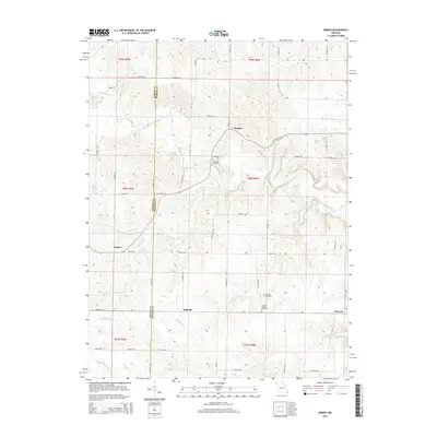
2021 Durham
Marion County, MO
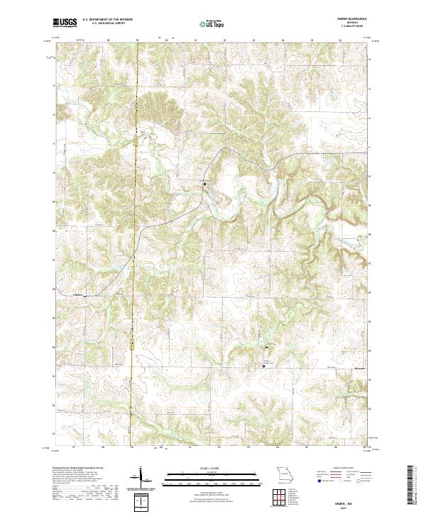
2021 Emden
Marion County, MO
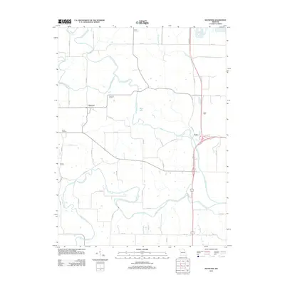
2021 Hannibal West
Marion County, MO
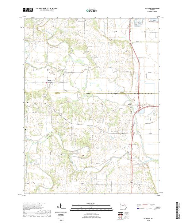
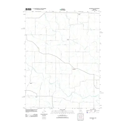
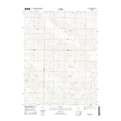
2021 Maywood
Marion County, MO
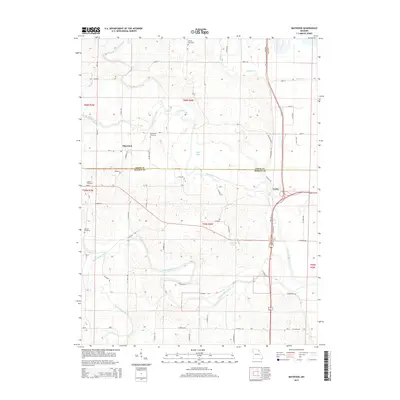
2021 Nelsonville
Marion County, MO
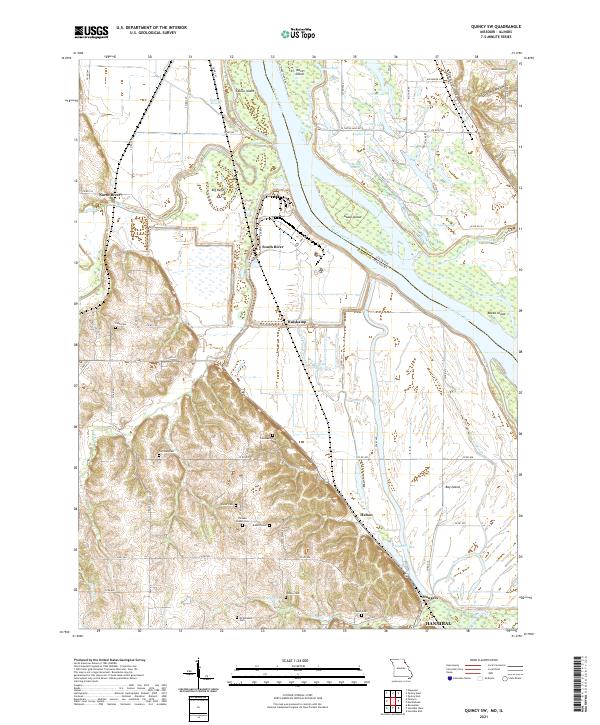
2021 Quincy SW
Marion County, MO