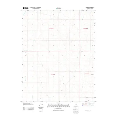
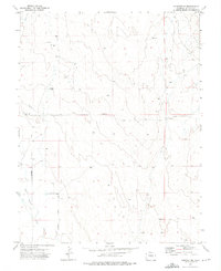
2013 Map of Hanover NE
USGS Topo · Published 2013About this map
Turkey Track Ranch and Love Ranch anchor this landscape in El Paso County, reflecting the deep-rooted ranching tradition of the Colorado high plains. The terrain is defined by the ephemeral drainage of Black Squirrel Cr, which cuts south through the topography, alongside small water features like Youngs Puddle. The sparse road network, including Fredview Rd and Elway Vw, indicates a transition toward more modern rural residential development while maintaining the large-scale landholdings of the earlier cattle era. This 2013 survey provides a detailed look at the interface between traditional agricultural tracts and the encroaching grid of modern rural subdivisions.
Find a feature on this map
12 named features on this map. Tap any name to fly to it.
Don’t see what you’re looking for? This feature index may not catch every label — zoom into the map to look around manually.
Map Details
Editions of this 2013 Hanover NE Map
This is the sole edition of this map. No revisions or reprints were ever made.
Other maps of this area

1893 · Big Springs
USGS Topo · 1:125,000
1954 · Ellicott
USGS Topo · 1:24,000
1954 · Hanover NW
USGS Topo · 1:24,000
1954 · Hanover
USGS Topo · 1:24,000

1954 · Pueblo
USGS Topo · 1:250,000

1957 · Pueblo
USGS Topo · 1:250,000

1958 · Pueblo
USGS Topo · 1:250,000

1962 · Pueblo
USGS Topo · 1:250,000

1966 · Pueblo
USGS Topo · 1:250,000
1973 · Hanover NE
USGS Topo · 1:24,000