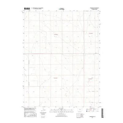
2016 Map of Hanover NE
USGS Topo · Published 2016About this map
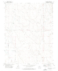
Black Squirrel Cr defines the drainage of this arid high-plains landscape in El Paso County, where wide-open spaces are partitioned by the rigid lines of the Public Land Survey System. The map captures a transition toward rural residential development, with long-established landmarks like Youngs Puddle existing alongside a modern network of gravel and local roads. Transport routes such as S Squirrel Creek Rd and Shear Rd follow the cardinal directions of section lines, reflecting the organized settlement patterns of the Colorado prairie. Small rural clusters and private homesteads are connected by a series of drives and views, including Carl Vw, Darroll Dr, and Fred Vw, which point to the steady transformation of ranchland into a residential patchwork east of the Front Range.
Find a feature on this map
11 named features on this map. Tap any name to fly to it.
Don’t see what you’re looking for? This feature index may not catch every label — zoom into the map to look around manually.
Map Details
Editions of this 2016 Hanover NE Map
This is the sole edition of this map. No revisions or reprints were ever made.
Other maps of this area

1893 · Big Springs
USGS Topo · 1:125,000
1954 · Ellicott
USGS Topo · 1:24,000
1954 · Hanover NW
USGS Topo · 1:24,000
1954 · Hanover
USGS Topo · 1:24,000

1954 · Pueblo
USGS Topo · 1:250,000

1957 · Pueblo
USGS Topo · 1:250,000

1958 · Pueblo
USGS Topo · 1:250,000

1962 · Pueblo
USGS Topo · 1:250,000

1966 · Pueblo
USGS Topo · 1:250,000
1973 · Hanover NE
USGS Topo · 1:24,000