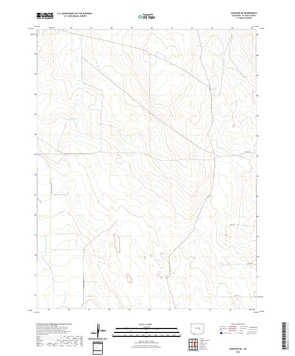
2022 Map of Hanover NE
USGS Topo · Published 2022About this map
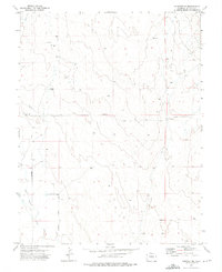
Black Squirrel Cr meanders through this section of El Paso County, defining the drainage patterns across the eastern Colorado plains. The landscape is marked by open terrain and a network of rural roads that reflect a history of land partitioning into large sections and townships. Small-scale water features like Youngs Puddle provide focal points in an area largely dominated by agricultural and ranching layouts. Local transit is managed through a grid of named roads including S Squirrel Creek Rd and Shear Rd, which facilitate movement across the township lines of T15S and T16S. Residential development and local access are traced through named drives and views such as Carl Vw and Fred Vw, highlighting the modern residential footprint in this rural setting.
Find a feature on this map
11 named features on this map. Tap any name to fly to it.
Don’t see what you’re looking for? This feature index may not catch every label — zoom into the map to look around manually.
Map Details
Editions of this 2022 Hanover NE Map
This is the sole edition of this map. No revisions or reprints were ever made.
Other maps of this area

1893 · Big Springs
USGS Topo · 1:125,000
1954 · Ellicott
USGS Topo · 1:24,000
1954 · Hanover NW
USGS Topo · 1:24,000
1954 · Hanover
USGS Topo · 1:24,000

1954 · Pueblo
USGS Topo · 1:250,000

1957 · Pueblo
USGS Topo · 1:250,000

1958 · Pueblo
USGS Topo · 1:250,000

1962 · Pueblo
USGS Topo · 1:250,000

1966 · Pueblo
USGS Topo · 1:250,000
1973 · Hanover NE
USGS Topo · 1:24,000