
1940 Map of Hanover
USGS Topo · Published 1940About this map
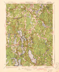
Glacial kettle ponds and cedar swamps define this interior Plymouth County landscape as it appeared in the mid-1930s. The Indian Head River and North River meander through the terrain, historically powering small industry like the labeled Fireworks works and various mills that previously occupied the Mill Ponds. Settlement is concentrated around traditional village centers like Hanover, Pembroke, and Bryantville, while the southern portion of the map is dominated by the expansive Silver Lake and the wetlands around Monponsett.
Find a feature on this map
149 named features on this map. Tap any name to fly to it.
Don’t see what you’re looking for? This feature index may not catch every label — zoom into the map to look around manually.
Map Details
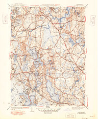
Editions of this 1940 Hanover Map
3 editions found
Other maps of this area

1885 · Abington
USGS Topo · 1:62,500

1885 · Duxbury
USGS Topo · 1:62,500

1885 · Middleboro
USGS Topo · 1:62,500

1886 · Plymouth
USGS Topo · 1:62,500

1888 · Duxbury
USGS Topo · 1:62,500

1888 · Middleboro
USGS Topo · 1:62,500

1888 · Abington
USGS Topo · 1:62,500

1889 · Plymouth
USGS Topo · 1:62,500

1893 · Abington
USGS Topo · 1:62,500

1893 · Duxbury
USGS Topo · 1:62,500