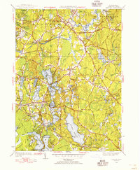
1948 Map of Hanover
USGS Topo · Published 1956About this map
The North River and its numerous tributaries, including the Indian Head River and Third Herring Brook, define the hydraulic landscape of this mid-century Plymouth County study. The region reflects a transitional period between its industrial past, represented by labels like Fireworks and Factory Pond, and its post-war development. A dense network of local cemeteries, such as Hanover Center Cem and Fern Hill Cem, alongside the Thomas Sch, offers significant detail for genealogical research in established villages like Hanover, Pembroke, and Bryantville.
Find a feature on this map
124 named features on this map. Tap any name to fly to it.
Don’t see what you’re looking for? This feature index may not catch every label — zoom into the map to look around manually.
Map Details
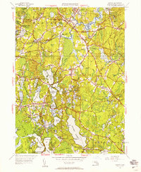
Editions of this 1948 Hanover Map
2 editions found
Other maps of this area

1885 · Abington
USGS Topo · 1:62,500

1885 · Duxbury
USGS Topo · 1:62,500

1885 · Middleboro
USGS Topo · 1:62,500

1886 · Plymouth
USGS Topo · 1:62,500

1888 · Duxbury
USGS Topo · 1:62,500

1888 · Middleboro
USGS Topo · 1:62,500

1888 · Abington
USGS Topo · 1:62,500

1889 · Plymouth
USGS Topo · 1:62,500

1893 · Abington
USGS Topo · 1:62,500

1893 · Duxbury
USGS Topo · 1:62,500