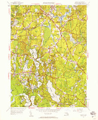
1948 Map of Hanover
USGS Topo · Published 1958About this map
Silver Lake and a dense network of smaller water bodies like Oldham Pond and Maquan Pond define the landscape of Plymouth County during the late 1940s. The region is characterized by a transition from industrial activity to residential and recreational use, as seen in the proximity of the Fireworks area and Clark Airport to several summer camps, including Camp Wampatuck and Camp Kiwanis. The New Haven Railroad provides a vital transportation spine, connecting settlements like Burrage and Halifax Sta.
Find a feature on this map
118 named features on this map. Tap any name to fly to it.
Don’t see what you’re looking for? This feature index may not catch every label — zoom into the map to look around manually.
Map Details
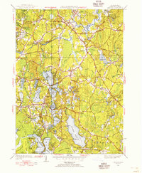
Editions of this 1948 Hanover Map
2 editions found
Other maps of this area

1885 · Abington
USGS Topo · 1:62,500

1885 · Duxbury
USGS Topo · 1:62,500

1885 · Middleboro
USGS Topo · 1:62,500

1886 · Plymouth
USGS Topo · 1:62,500

1888 · Duxbury
USGS Topo · 1:62,500

1888 · Middleboro
USGS Topo · 1:62,500

1888 · Abington
USGS Topo · 1:62,500

1889 · Plymouth
USGS Topo · 1:62,500

1893 · Abington
USGS Topo · 1:62,500

1893 · Duxbury
USGS Topo · 1:62,500