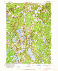
1962 Map of Hanover
USGS Topo · Published 1964About this map
Silver Lake and the complex basin of the North River dominate this landscape in the early 1960s, reflecting a region defined by its glacial hydrology and long-standing agricultural roots. The presence of numerous Cranberry Bogs throughout Halifax and Pembroke underscores the specialized wetlands economy of Plymouth County. To the north, Hanover and South Hanover show the encroachment of mid-century residential growth near Interchange 32, yet the area retains its distinct village identities at Oldham Village and Brimstone Corner.
Find a feature on this map
110 named features on this map. Tap any name to fly to it.
Don’t see what you’re looking for? This feature index may not catch every label — zoom into the map to look around manually.
Map Details
Editions of this 1962 Hanover Map
2 editions found
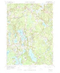
Other maps of this area

1885 · Abington
USGS Topo · 1:62,500

1885 · Duxbury
USGS Topo · 1:62,500

1885 · Middleboro
USGS Topo · 1:62,500

1886 · Plymouth
USGS Topo · 1:62,500

1888 · Duxbury
USGS Topo · 1:62,500

1888 · Middleboro
USGS Topo · 1:62,500

1888 · Abington
USGS Topo · 1:62,500

1889 · Plymouth
USGS Topo · 1:62,500

1893 · Abington
USGS Topo · 1:62,500

1893 · Duxbury
USGS Topo · 1:62,500