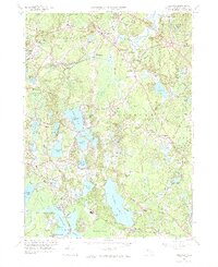
1962 Map of Hanover
USGS Topo · Published 1972About this map
Cranberry cultivation shapes the landscape in this 1960s study of the South Shore, where numerous Cranberry Bogs dot the lowlands between Oldham Pond and Silver Lake. The map reveals a transition from traditional agricultural patterns to suburban expansion, evidenced by the growth around Hanover Center and Pembroke. Industry and transit are well-defined by the New York New Haven and Hartford railroad line, which connects smaller communities like Monponsett and Burrage.
Find a feature on this map
95 named features on this map. Tap any name to fly to it.
Don’t see what you’re looking for? This feature index may not catch every label — zoom into the map to look around manually.
Map Details
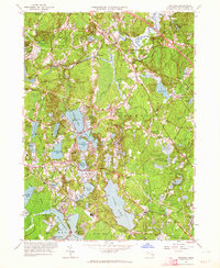
Editions of this 1962 Hanover Map
2 editions found
Other maps of this area

1885 · Abington
USGS Topo · 1:62,500

1885 · Duxbury
USGS Topo · 1:62,500

1885 · Middleboro
USGS Topo · 1:62,500

1886 · Plymouth
USGS Topo · 1:62,500

1888 · Duxbury
USGS Topo · 1:62,500

1888 · Middleboro
USGS Topo · 1:62,500

1888 · Abington
USGS Topo · 1:62,500

1889 · Plymouth
USGS Topo · 1:62,500

1893 · Abington
USGS Topo · 1:62,500

1893 · Duxbury
USGS Topo · 1:62,500