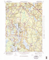
1978 Map of Hanover
USGS Topo · Published 1979About this map
Silver Lake and Monponsett Pond dominate the southern landscape of this 1970s survey, illustrating a region defined by its complex network of glacial ponds, swamps, and industrial cranberry production. The land is heavily marked by Cranberry Bogs, particularly around Stetson Pond and the Pudding Brook drainage, reflecting a specialized agricultural economy that persists alongside growing suburban settlements. Towns like Pembroke, Hanover, and Bryantville are shown with their mid-century footprints, connected by a dense grid of local roads and the surviving Conrail line.
Find a feature on this map
106 named features on this map. Tap any name to fly to it.
Don’t see what you’re looking for? This feature index may not catch every label — zoom into the map to look around manually.
Map Details
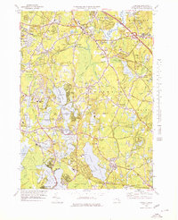
Editions of this 1978 Hanover Map
2 editions found
Other maps of this area

1885 · Abington
USGS Topo · 1:62,500

1885 · Duxbury
USGS Topo · 1:62,500

1885 · Middleboro
USGS Topo · 1:62,500

1886 · Plymouth
USGS Topo · 1:62,500

1888 · Duxbury
USGS Topo · 1:62,500

1888 · Middleboro
USGS Topo · 1:62,500

1888 · Abington
USGS Topo · 1:62,500

1889 · Plymouth
USGS Topo · 1:62,500

1893 · Abington
USGS Topo · 1:62,500

1893 · Duxbury
USGS Topo · 1:62,500