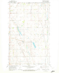
1969 Map of Hansboro NE
USGS Topo · Published 1972About this map
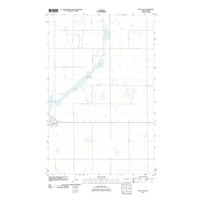
The international boundary between Canada and the United States defines the northern edge of this North Dakota landscape, where the prairie is marked by glacial depressions and seasonal watercourses. The small settlement of Hansboro serves as a primary point of entry, anchored by the US Customs post. This area showcases the transition of the northern plains into the Rock Lake National Wildlife Refuge at the southern margin, reflecting a landscape where conservation and agriculture meet.
Find a feature on this map
20 named features on this map. Tap any name to fly to it.
Don’t see what you’re looking for? This feature index may not catch every label — zoom into the map to look around manually.
Map Details
Editions of this 1969 Hansboro NE Map
This is the sole edition of this map. No revisions or reprints were ever made.
Other maps of this area

1953 · Devils Lake
USGS Topo · 1:250,000

1956 · Devils Lake
USGS Topo · 1:250,000
1969 · Hansboro
USGS Topo · 1:24,000
1969 · Rock Lake NW
USGS Topo · 1:24,000

1970 · Hansboro SW
USGS Topo · 1:24,000

1970 · Hansboro SE
USGS Topo · 1:24,000

1970 · Rock Lake
USGS Topo · 1:24,000

1985 · Rock Lake
USGS Topo · 1:100,000
2011 · Hansboro SW
USGS Topo · 1:24,000
2011 · Rock Lake
USGS Topo · 1:24,000