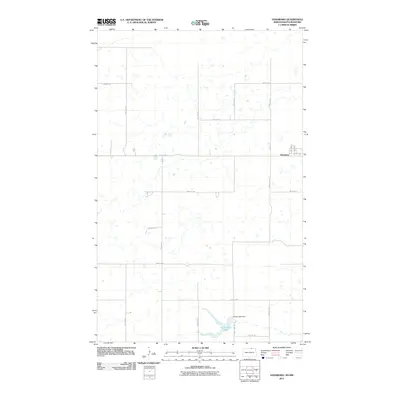
2011 Map of Hansboro
USGS Topo · Published 2011About this map
Hansboro sits at the northern edge of the North Dakota plains, adjacent to the Manitoba border in a landscape defined by an extensive grid of section roads and scattered glacial prairie potholes. This 2011 survey illustrates the rural character of Towner County, where the township structure remains the dominant organizing force of the land. In the southern portion of the quadrangle, Armourdale Lake and the Armourdale Dam provide a rare concentration of surface water amidst the agricultural expanse. The town site of Hansboro itself is concentrated near the intersection of Rolla St and several numbered avenues, while the surrounding territory is laced with thoroughfares such as 108th St Ne and 60th Ave Ne. This map provides a clear record of the intersection between established town sites and the persistent agricultural grid that characterizes the region.
Find a feature on this map
19 named features on this map. Tap any name to fly to it.
Don’t see what you’re looking for? This feature index may not catch every label — zoom into the map to look around manually.
Map Details
Editions of this 2011 Hansboro Map
This is the sole edition of this map. No revisions or reprints were ever made.
Other maps of this area

1953 · Devils Lake
USGS Topo · 1:250,000

1956 · Devils Lake
USGS Topo · 1:250,000
1969 · Hansboro NE
USGS Topo · 1:24,000
1969 · Hansboro
USGS Topo · 1:24,000

1969 · Rolla NE
USGS Topo · 1:24,000

1970 · Hansboro SW
USGS Topo · 1:24,000

1970 · Hansboro SE
USGS Topo · 1:24,000

1970 · Rolla
USGS Topo · 1:24,000

1985 · Rock Lake
USGS Topo · 1:100,000
2011 · Hansboro SW
USGS Topo · 1:24,000