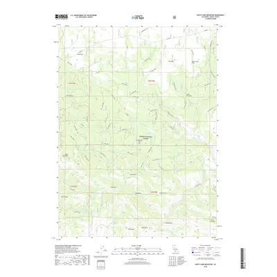
2018 Map of Happy Camp Mountain
USGS Topo · Published 2018About this map
Modoc National Forest encompasses this high plateau landscape, where the Pit River carves through the southern terrain near Stone Coal Mtn. The region is defined by a network of timber and access roads, such as the Loveness system and various spurs serving the volcanic and sedimentary uplands. Local history is anchored at the Hulbert Place and landmarks like Happy Camp Mtn, which features the Happy Camp Lo lookout station.
Find a feature on this map
66 named features on this map. Tap any name to fly to it.
Don’t see what you’re looking for? This feature index may not catch every label — zoom into the map to look around manually.
Map Details
Editions of this 2018 Happy Camp Mountain Map
This is the sole edition of this map. No revisions or reprints were ever made.
Other maps of this area

1886 · Alturas
USGS Topo · 1:250,000

1886 · Modoc Lava Bed
USGS Topo · 1:250,000

1892 · Modoc Lava-Bed
USGS Topo · 1:250,000

1892 · Alturas
USGS Topo · 1:250,000

1952 · Hackamore
USGS Topo · 1:62,500

1954 · Alturas
USGS Topo · 1:250,000

1958 · Alturas
USGS Topo · 1:250,000

1961 · Canby
USGS Topo · 1:62,500

1962 · Alturas
USGS Topo · 1:250,000

1962 · Crank Mountain
USGS Topo · 1:62,500