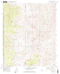
1973 Map of Happy Valley
USGS Topo · Published 1976About this map
Happy Valley serves as the central corridor of this arid landscape, flanked by the steep rising slopes of the Rincon Mountains to the west and the Little Rincon Mountains to the east. The 1970s survey captures a ranching environment where life revolves around isolated water sources like Steel Trough Spring and Juanita Spring. These springs, alongside livestock infrastructure like Boulder Tank and Secret Pasture, reveal the survival strategies of high-desert cattle operations.
Find a feature on this map
71 named features on this map. Tap any name to fly to it.
Don’t see what you’re looking for? This feature index may not catch every label — zoom into the map to look around manually.
Map Details
Editions of this 1973 Happy Valley Map
2 editions found
Other maps of this area

1904 · Tucson
USGS Topo · 1:125,000

1905 · Tucson
USGS Topo · 1:125,000

1945 · Redington
USGS Topo · 1:62,500

1945 · Happy Valley
USGS Topo · 1:62,500

1956 · Tucson
USGS Topo · 1:250,000

1957 · Bellota Ranch
USGS Topo · 1:62,500

1957 · Rincon Valley
USGS Topo · 1:62,500

1957 · Redington
USGS Topo · 1:62,500

1958 · Tucson
USGS Topo · 1:250,000

1958 · Happy Valley
USGS Topo · 1:62,500