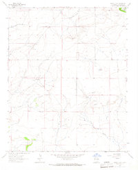
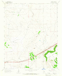
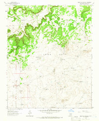
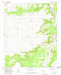
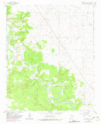
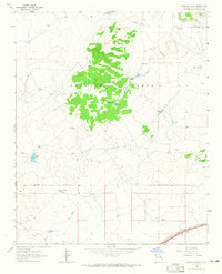
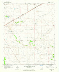
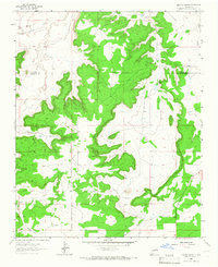
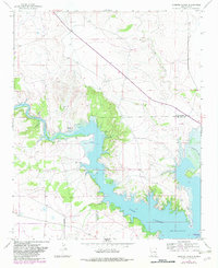
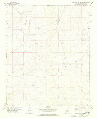
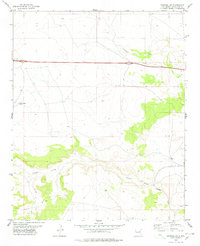
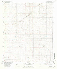
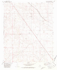
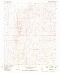
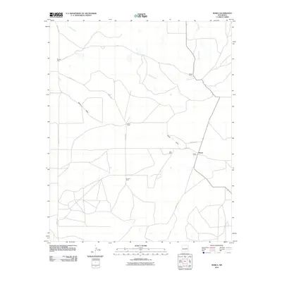
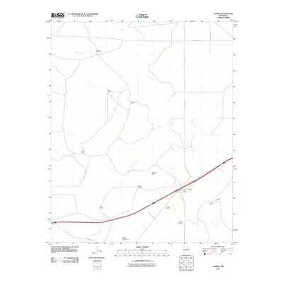
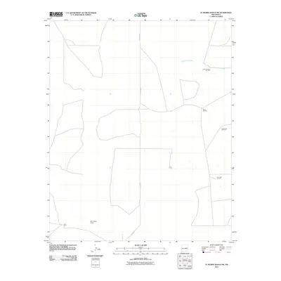
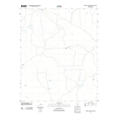
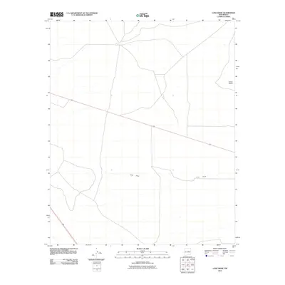
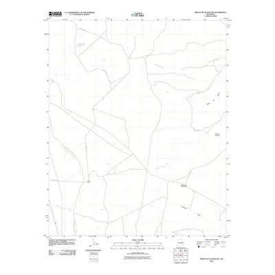
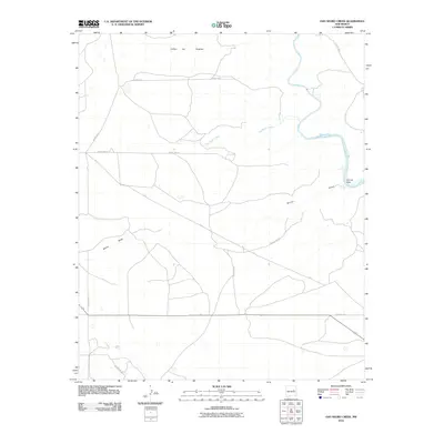
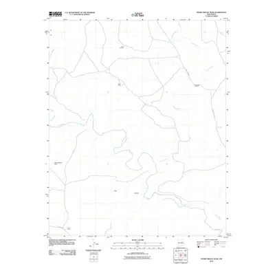
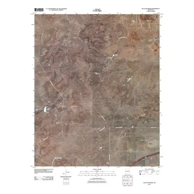
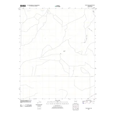
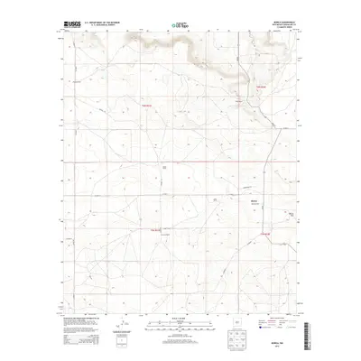
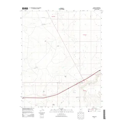
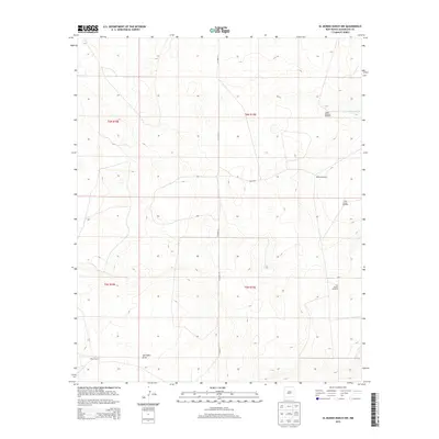
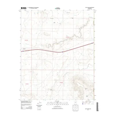
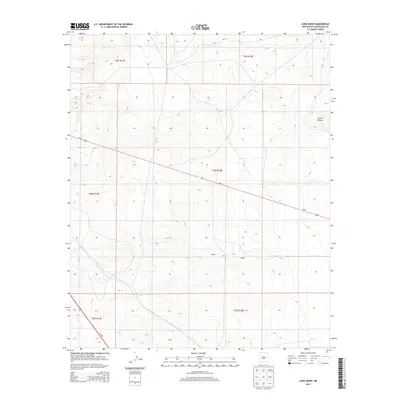
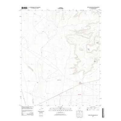
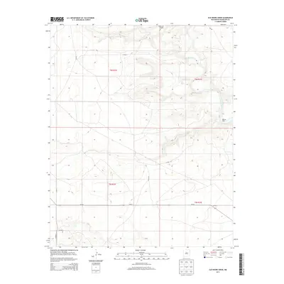
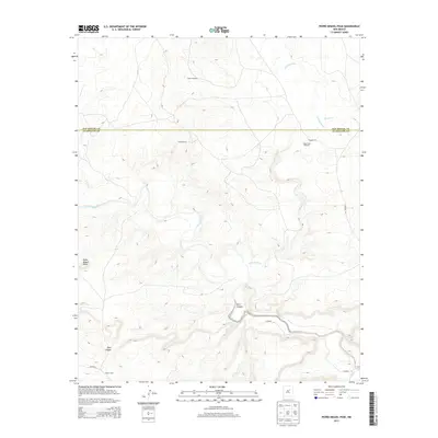
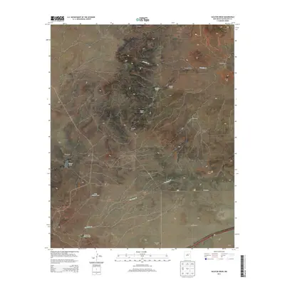
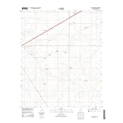
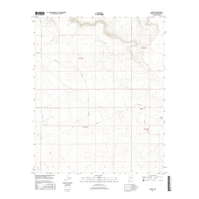
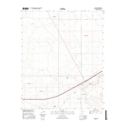
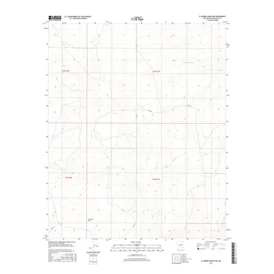
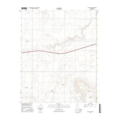
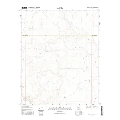
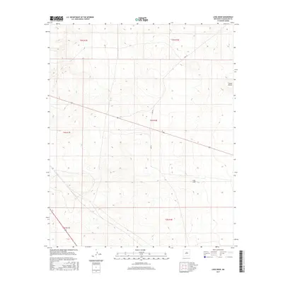
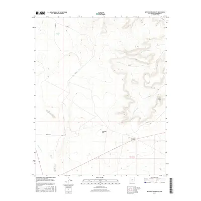
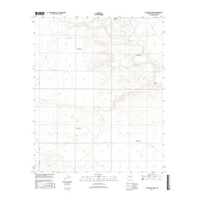
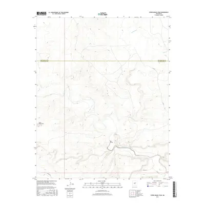
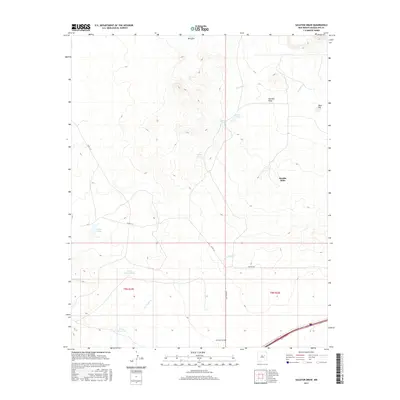
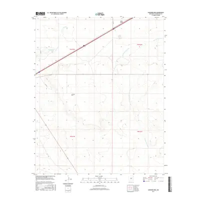
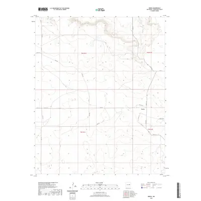
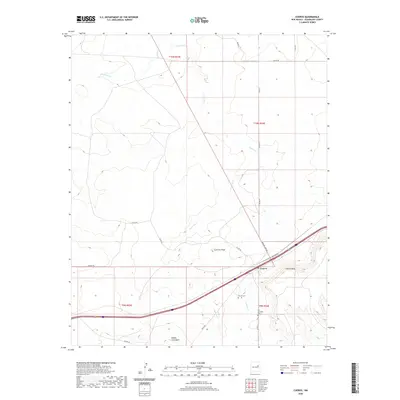
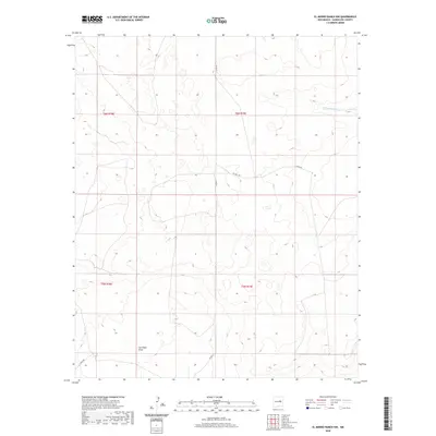
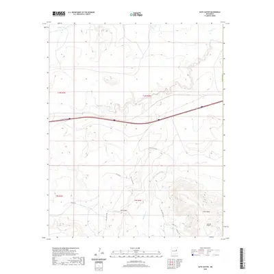
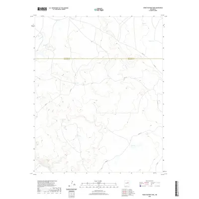
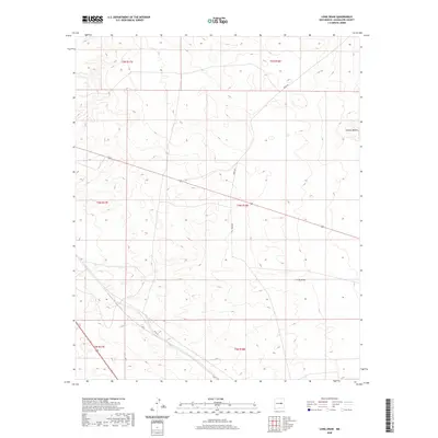
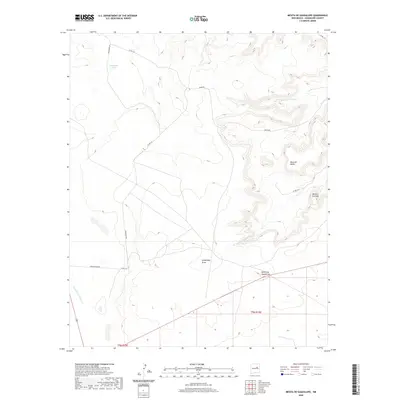
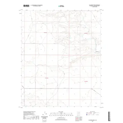
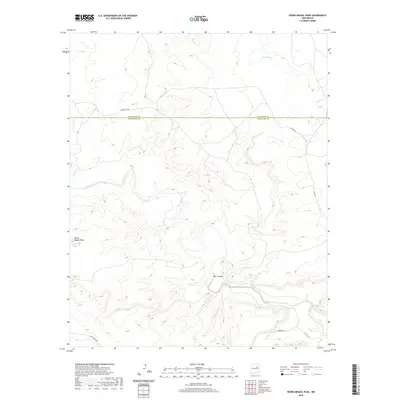
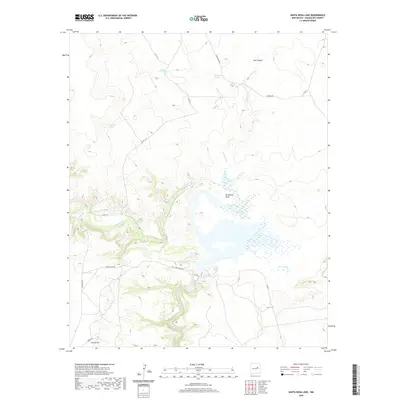
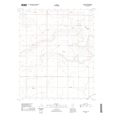
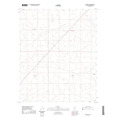
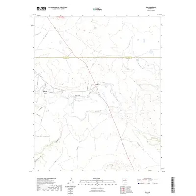
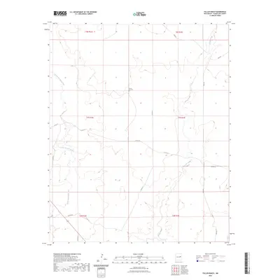
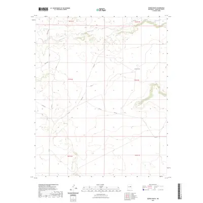
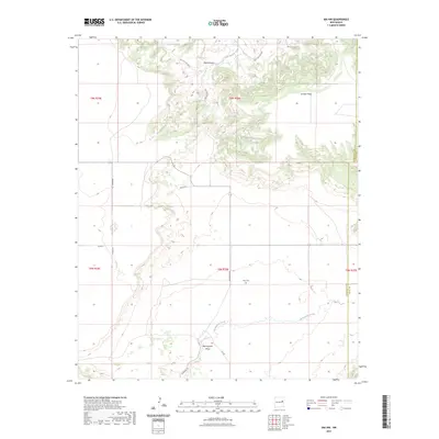
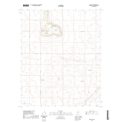
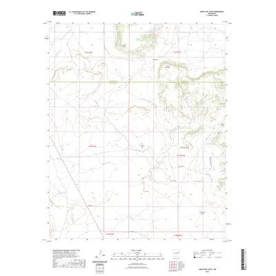
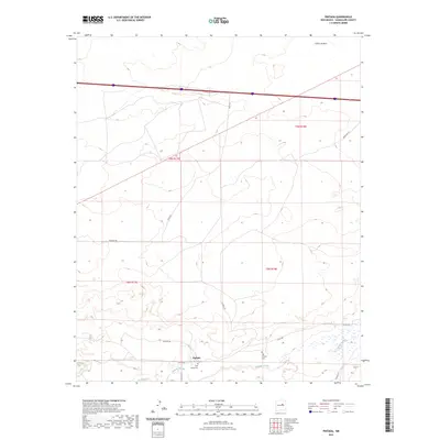
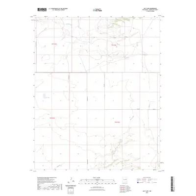
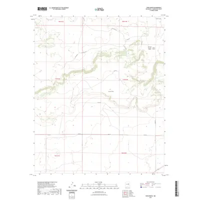
1964 Map of Harben Lake
USGS Topo · Published 1967About this map
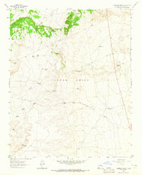
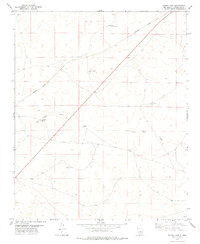
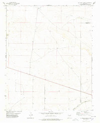
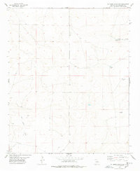
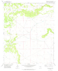
Harben Lake and the drainage of Arroyo San Juan de Dios define this Guadalupe County landscape as it was documented in the early 1960s. The area is characterized by a high-desert ranching economy, centered around family-named holdings such as Hicks Ranch and Reilly Ranch. Topographical details reveal a complex system of seasonal watercourses and infrastructure, including the Cuerrito Creek and the Potrillo arroyo.
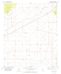
Find a feature on this map
13 named features on this map. Tap any name to fly to it.
Don’t see what you’re looking for? This feature index may not catch every label — zoom into the map to look around manually.
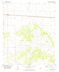
Map Details
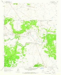
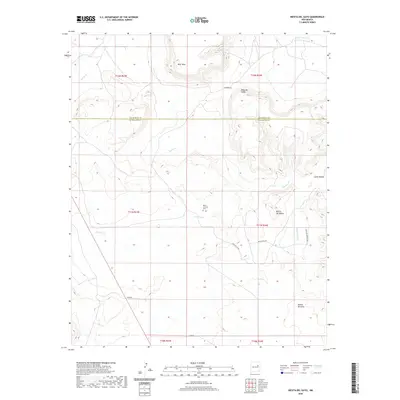
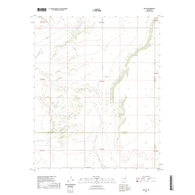
Editions of this 1964 Harben Lake Map
This is the sole edition of this map. No revisions or reprints were ever made.
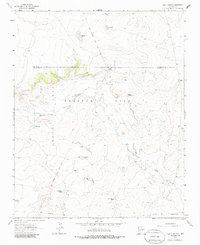
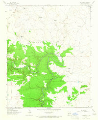
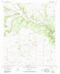
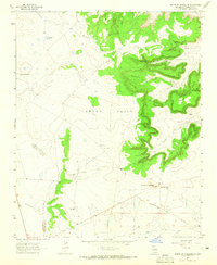
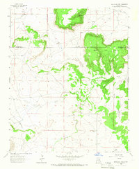
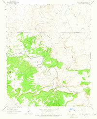
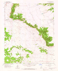
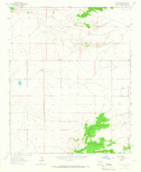
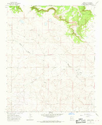
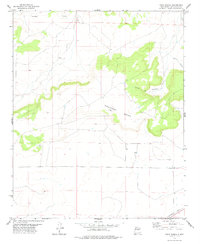
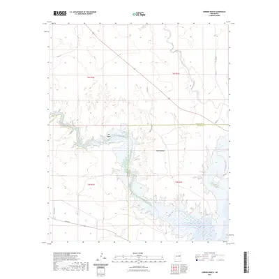
Historical Maps of Guadalupe County Through Time
264 maps found
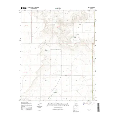
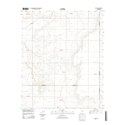
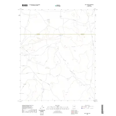
1963 Bar Y Ranch
Guadalupe County, NM
1963 Catfish Falls
Guadalupe County, NM
1963 Colonias
Guadalupe County, NM
1963 Cuervo
Guadalupe County, NM
1963 Dilia
Guadalupe County, NM
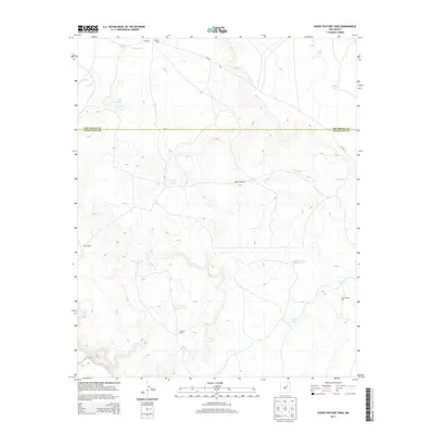
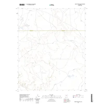
1963 Horse Pasture Tank
Guadalupe County, NM
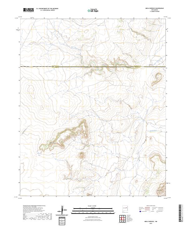
1963 Mesa Cherisco
Guadalupe County, NM
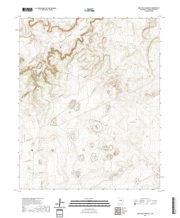
1963 Mesa Palo Amarillo
Guadalupe County, NM
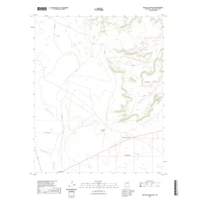
1963 Mesita De Guadalupe
Guadalupe County, NM
1963 Mesita Del Gato
Guadalupe County, NM
1963 Pedro Miguel Peak
Guadalupe County, NM
1963 Puerto Creek
Guadalupe County, NM
1963 Puerto De Luna
Guadalupe County, NM
1963 Sacaton Draw
Guadalupe County, NM
1963 Sunshine Mesa
Guadalupe County, NM
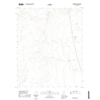
1963 Thompson Ranch
Guadalupe County, NM
1964 Canada Colorado
Guadalupe County, NM
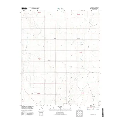
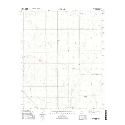
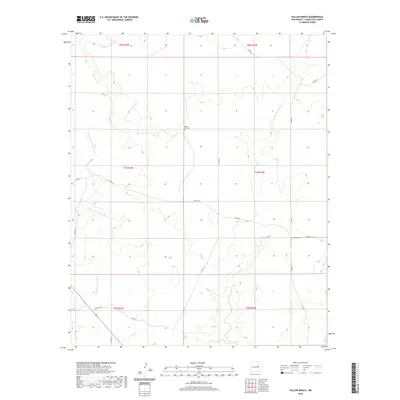
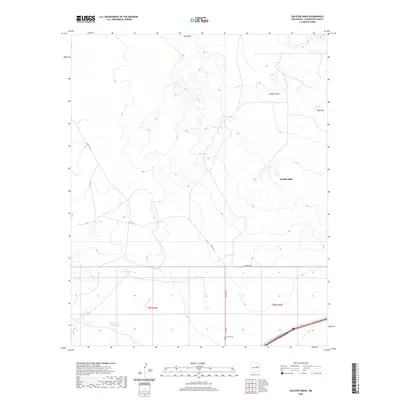
1964 Fallon Ranch
Guadalupe County, NM
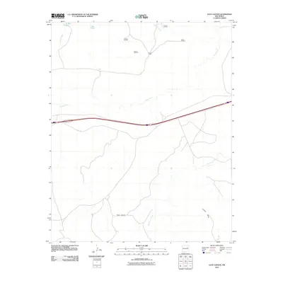
1964 Gate Canyon
Guadalupe County, NM
1964 Harben Lake
Guadalupe County, NM
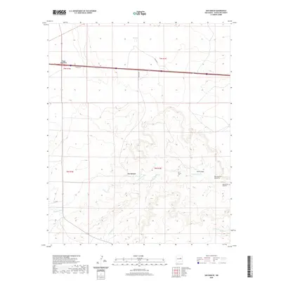
1964 Neafus Ranch
Guadalupe County, NM
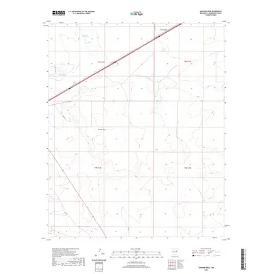
1964 Ortega Tank
Guadalupe County, NM
1964 Salt Lake
Guadalupe County, NM
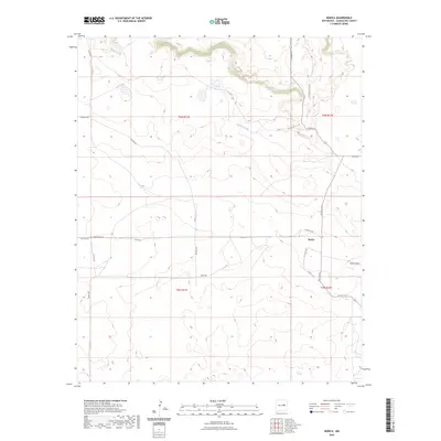
1966 Borica
Guadalupe County, NM
1966 Gibbons Ranch
Guadalupe County, NM
1966 Ojo Negro Creek
Guadalupe County, NM
1968 Ima NW
Guadalupe County, NM
1968 Ima SW
Guadalupe County, NM
1978 Burro Lake
Guadalupe County, NM
1978 El Morro Ranch
Guadalupe County, NM
1978 El Morro Ranch NW
Guadalupe County, NM
1978 George Ranch
Guadalupe County, NM
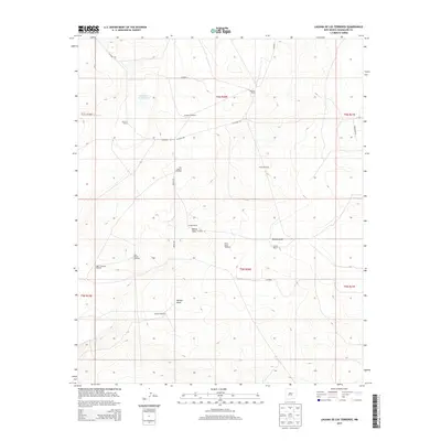
1978 Laguna De Los Terreros
Guadalupe County, NM
1978 Long Draw
Guadalupe County, NM
1978 Mesa Leon
Guadalupe County, NM
1978 Milagro
Guadalupe County, NM
1978 Pastura NE
Guadalupe County, NM
1978 Pastura SE
Guadalupe County, NM

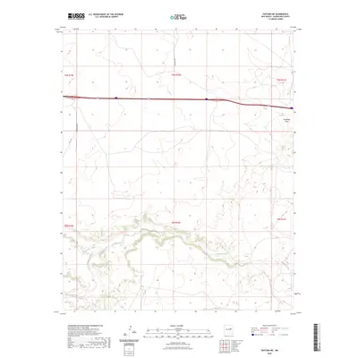
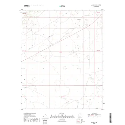
1978 Pintada
Guadalupe County, NM
1978 San Ignacio
Guadalupe County, NM
1978 Tapia Ranch
Guadalupe County, NM
1981 Duoro
Guadalupe County, NM
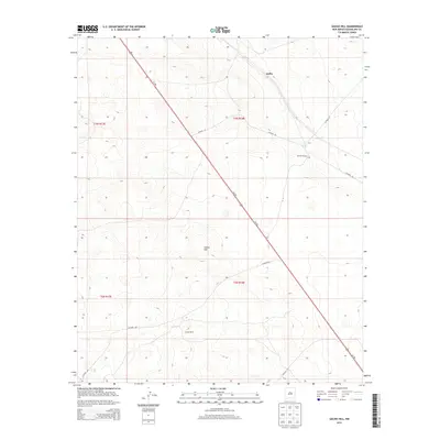
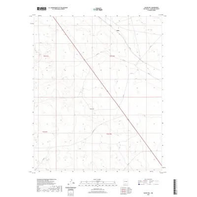
1981 Gacho Hill
Guadalupe County, NM
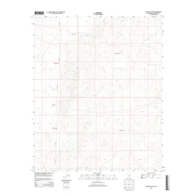
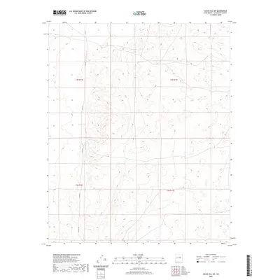
1981 Gacho Hill NW
Guadalupe County, NM
2010 Bar Y Ranch
Guadalupe County, NM
2010 Borica
Guadalupe County, NM
2010 Burro Lake
Guadalupe County, NM
2010 Canada Colorado
Guadalupe County, NM
2010 Colonias
Guadalupe County, NM
2010 Cuervo
Guadalupe County, NM
2010 Dilia
Guadalupe County, NM
2010 Duoro
Guadalupe County, NM
2010 El Morro Ranch
Guadalupe County, NM
2010 El Morro Ranch NW
Guadalupe County, NM
2010 Fallon Ranch
Guadalupe County, NM
2010 Gacho Hill
Guadalupe County, NM
2010 Gacho Hill NW
Guadalupe County, NM
2010 Gate Canyon
Guadalupe County, NM
2010 George Ranch
Guadalupe County, NM
2010 Gibbons Ranch
Guadalupe County, NM
2010 Harben Lake
Guadalupe County, NM
2010 Horse Pasture Tank
Guadalupe County, NM
2010 Ima NW
Guadalupe County, NM
2010 Ima SW
Guadalupe County, NM
2010 Laguna De Los Terreros
Guadalupe County, NM
2010 Long Draw
Guadalupe County, NM
2010 Mesa Cherisco
Guadalupe County, NM
2010 Mesa Leon
Guadalupe County, NM
2010 Mesa Palo Amarillo
Guadalupe County, NM
2010 Mesita De Guadalupe
Guadalupe County, NM
2010 Mesita Del Gato
Guadalupe County, NM
2010 Milagro
Guadalupe County, NM
2010 Neafus Ranch
Guadalupe County, NM
2010 Ojo Negro Creek
Guadalupe County, NM
2010 Ortega Tank
Guadalupe County, NM
2010 Pastura NE
Guadalupe County, NM
2010 Pastura SE
Guadalupe County, NM
2010 Pedro Miguel Peak
Guadalupe County, NM
2010 Pintada
Guadalupe County, NM
2010 Puerto Creek
Guadalupe County, NM
2010 Puerto De Luna
Guadalupe County, NM
2010 Sacaton Draw
Guadalupe County, NM
2010 Salt Lake
Guadalupe County, NM
2010 San Ignacio
Guadalupe County, NM
2010 Sunshine Mesa
Guadalupe County, NM
2010 Tapia Ranch
Guadalupe County, NM
2010 Thompson Ranch
Guadalupe County, NM
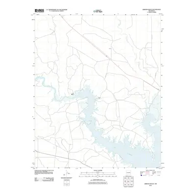
2011 Santa Rosa Lake
Guadalupe County, NM
2013 Bar Y Ranch
Guadalupe County, NM
2013 Borica
Guadalupe County, NM
2013 Burro Lake
Guadalupe County, NM
2013 Canada Colorado
Guadalupe County, NM
2013 Colonias
Guadalupe County, NM
2013 Cuervo
Guadalupe County, NM
2013 Dilia
Guadalupe County, NM
2013 Duoro
Guadalupe County, NM
2013 El Morro Ranch
Guadalupe County, NM
2013 El Morro Ranch NW
Guadalupe County, NM
2013 Fallon Ranch
Guadalupe County, NM
2013 Gacho Hill
Guadalupe County, NM
2013 Gacho Hill NW
Guadalupe County, NM
2013 Gate Canyon
Guadalupe County, NM
2013 George Ranch
Guadalupe County, NM
2013 Gibbons Ranch
Guadalupe County, NM
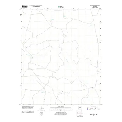
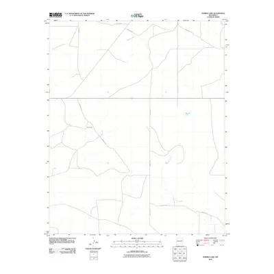
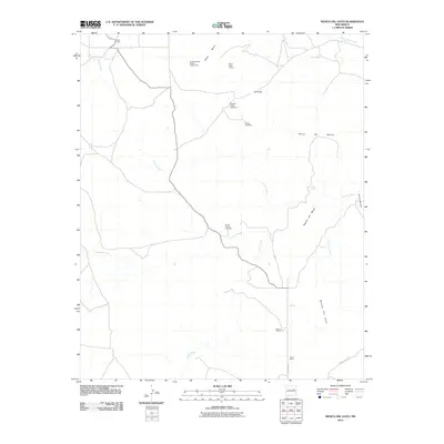
2013 Harben Lake
Guadalupe County, NM
2013 Horse Pasture Tank
Guadalupe County, NM
2013 Ima NW
Guadalupe County, NM
2013 Ima SW
Guadalupe County, NM
2013 Laguna De Los Terreros
Guadalupe County, NM
2013 Long Draw
Guadalupe County, NM
2013 Mesa Cherisco
Guadalupe County, NM
2013 Mesa Leon
Guadalupe County, NM
2013 Mesa Palo Amarillo
Guadalupe County, NM
2013 Mesita De Guadalupe
Guadalupe County, NM
2013 Mesita Del Gato
Guadalupe County, NM
2013 Milagro
Guadalupe County, NM
2013 Neafus Ranch
Guadalupe County, NM
2013 Ojo Negro Creek
Guadalupe County, NM
2013 Ortega Tank
Guadalupe County, NM
2013 Pastura NE
Guadalupe County, NM
2013 Pastura SE
Guadalupe County, NM
2013 Pedro Miguel Peak
Guadalupe County, NM
2013 Pintada
Guadalupe County, NM
2013 Puerto Creek
Guadalupe County, NM
2013 Puerto De Luna
Guadalupe County, NM
2013 Sacaton Draw
Guadalupe County, NM
2013 Salt Lake
Guadalupe County, NM
2013 San Ignacio
Guadalupe County, NM
2013 Santa Rosa Lake
Guadalupe County, NM
2013 Sunshine Mesa
Guadalupe County, NM
2013 Tapia Ranch
Guadalupe County, NM
2013 Thompson Ranch
Guadalupe County, NM
2017 Bar Y Ranch
Guadalupe County, NM
2017 Borica
Guadalupe County, NM
2017 Burro Lake
Guadalupe County, NM
2017 Canada Colorado
Guadalupe County, NM
2017 Colonias
Guadalupe County, NM
2017 Cuervo
Guadalupe County, NM
2017 Dilia
Guadalupe County, NM
2017 Duoro
Guadalupe County, NM
2017 El Morro Ranch
Guadalupe County, NM
2017 El Morro Ranch NW
Guadalupe County, NM
2017 Fallon Ranch
Guadalupe County, NM
2017 Gacho Hill
Guadalupe County, NM
2017 Gacho Hill NW
Guadalupe County, NM
2017 Gate Canyon
Guadalupe County, NM
2017 George Ranch
Guadalupe County, NM
2017 Gibbons Ranch
Guadalupe County, NM
2017 Harben Lake
Guadalupe County, NM
2017 Horse Pasture Tank
Guadalupe County, NM
2017 Ima NW
Guadalupe County, NM
2017 Ima SW
Guadalupe County, NM
2017 Laguna De Los Terreros
Guadalupe County, NM
2017 Long Draw
Guadalupe County, NM
2017 Mesa Cherisco
Guadalupe County, NM
2017 Mesa Leon
Guadalupe County, NM
2017 Mesa Palo Amarillo
Guadalupe County, NM
2017 Mesita De Guadalupe
Guadalupe County, NM
2017 Mesita Del Gato
Guadalupe County, NM
2017 Milagro
Guadalupe County, NM
2017 Neafus Ranch
Guadalupe County, NM
2017 Ojo Negro Creek
Guadalupe County, NM
2017 Ortega Tank
Guadalupe County, NM
2017 Pastura NE
Guadalupe County, NM
2017 Pastura SE
Guadalupe County, NM
2017 Pedro Miguel Peak
Guadalupe County, NM
2017 Pintada
Guadalupe County, NM
2017 Puerto Creek
Guadalupe County, NM
2017 Puerto De Luna
Guadalupe County, NM
2017 Sacaton Draw
Guadalupe County, NM
2017 Salt Lake
Guadalupe County, NM
2017 San Ignacio
Guadalupe County, NM
2017 Santa Rosa Lake
Guadalupe County, NM
2017 Sunshine Mesa
Guadalupe County, NM
2017 Tapia Ranch
Guadalupe County, NM
2017 Thompson Ranch
Guadalupe County, NM
2020 Bar Y Ranch
Guadalupe County, NM
2020 Borica
Guadalupe County, NM
2020 Burro Lake
Guadalupe County, NM
2020 Canada Colorado
Guadalupe County, NM
2020 Colonias
Guadalupe County, NM
2020 Cuervo
Guadalupe County, NM
2020 Dilia
Guadalupe County, NM
2020 Duoro
Guadalupe County, NM
2020 El Morro Ranch
Guadalupe County, NM
2020 El Morro Ranch NW
Guadalupe County, NM
2020 Fallon Ranch
Guadalupe County, NM
2020 Gacho Hill
Guadalupe County, NM
2020 Gacho Hill NW
Guadalupe County, NM
2020 Gate Canyon
Guadalupe County, NM
2020 George Ranch
Guadalupe County, NM
2020 Gibbons Ranch
Guadalupe County, NM
2020 Harben Lake
Guadalupe County, NM
2020 Horse Pasture Tank
Guadalupe County, NM
2020 Ima NW
Guadalupe County, NM
2020 Ima SW
Guadalupe County, NM
2020 Laguna De Los Terreros
Guadalupe County, NM
2020 Long Draw
Guadalupe County, NM
2020 Mesa Cherisco
Guadalupe County, NM
2020 Mesa Leon
Guadalupe County, NM
2020 Mesa Palo Amarillo
Guadalupe County, NM
2020 Mesita De Guadalupe
Guadalupe County, NM
2020 Mesita Del Gato
Guadalupe County, NM
2020 Milagro
Guadalupe County, NM
2020 Neafus Ranch
Guadalupe County, NM
2020 Ojo Negro Creek
Guadalupe County, NM
2020 Ortega Tank
Guadalupe County, NM
2020 Pastura NE
Guadalupe County, NM
2020 Pastura SE
Guadalupe County, NM
2020 Pedro Miguel Peak
Guadalupe County, NM
2020 Pintada
Guadalupe County, NM
2020 Puerto Creek
Guadalupe County, NM
2020 Puerto De Luna
Guadalupe County, NM
2020 Sacaton Draw
Guadalupe County, NM

2020 Salt Lake
Guadalupe County, NM
2020 San Ignacio
Guadalupe County, NM
2020 Santa Rosa Lake
Guadalupe County, NM
2020 Sunshine Mesa
Guadalupe County, NM
2020 Tapia Ranch
Guadalupe County, NM
2020 Thompson Ranch
Guadalupe County, NM
2023 Bar Y Ranch
Guadalupe County, NM
2023 Borica
Guadalupe County, NM
2023 Burro Lake
Guadalupe County, NM
2023 Canada Colorado
Guadalupe County, NM
2023 Colonias
Guadalupe County, NM
2023 Cuervo
Guadalupe County, NM
2023 Dilia
Guadalupe County, NM
2023 Duoro
Guadalupe County, NM
2023 El Morro Ranch
Guadalupe County, NM
2023 El Morro Ranch NW
Guadalupe County, NM
2023 Fallon Ranch
Guadalupe County, NM
2023 Gacho Hill
Guadalupe County, NM
2023 Gacho Hill NW
Guadalupe County, NM
2023 Gate Canyon
Guadalupe County, NM
2023 George Ranch
Guadalupe County, NM
2023 Gibbons Ranch
Guadalupe County, NM
2023 Harben Lake
Guadalupe County, NM
2023 Horse Pasture Tank
Guadalupe County, NM
2023 Ima NW
Guadalupe County, NM
2023 Ima SW
Guadalupe County, NM
2023 Laguna De Los Terreros
Guadalupe County, NM
2023 Long Draw
Guadalupe County, NM
2023 Mesa Cherisco
Guadalupe County, NM
2023 Mesa Leon
Guadalupe County, NM
2023 Mesa Palo Amarillo
Guadalupe County, NM
2023 Mesita De Guadalupe
Guadalupe County, NM
2023 Mesita Del Gato
Guadalupe County, NM
2023 Milagro
Guadalupe County, NM
2023 Neafus Ranch
Guadalupe County, NM
2023 Ojo Negro Creek
Guadalupe County, NM
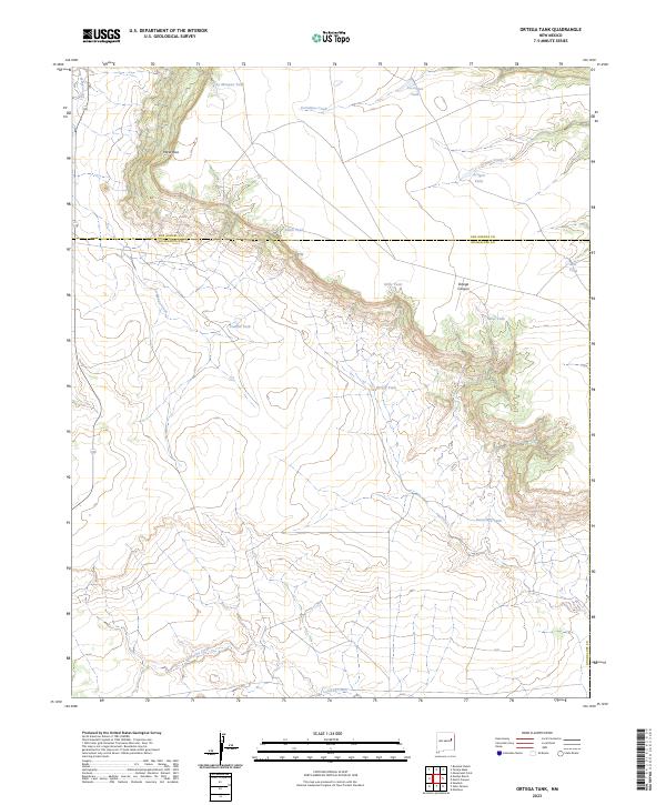
2023 Ortega Tank
Guadalupe County, NM
2023 Pastura NE
Guadalupe County, NM
2023 Pastura SE
Guadalupe County, NM
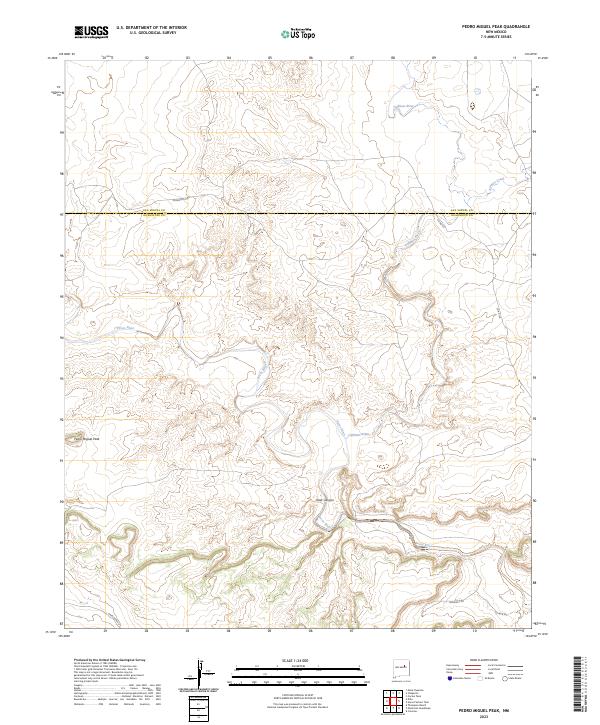
2023 Pedro Miguel Peak
Guadalupe County, NM
2023 Pintada
Guadalupe County, NM
2023 Puerto Creek
Guadalupe County, NM
2023 Puerto De Luna
Guadalupe County, NM
2023 Sacaton Draw
Guadalupe County, NM
2023 Salt Lake
Guadalupe County, NM
2023 San Ignacio
Guadalupe County, NM
2023 Santa Rosa Lake
Guadalupe County, NM
2023 Sunshine Mesa
Guadalupe County, NM
2023 Tapia Ranch
Guadalupe County, NM
2023 Thompson Ranch
Guadalupe County, NM