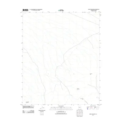
2011 Map of Harcuvar Peak
USGS Topo · Published 2011About this map
Harcuvar Peak stands as a prominent landmark within the Harcuvar Mountains in this western Arizona landscape. The terrain is defined by the convergence of the Harcuvar and Granite Wash Mountains, with the prominent Cottonwood Pass serving as a key corridor through the high ground. The 2011 survey by the U.S. Geological Survey details the intricate drainage patterns that flow from these ranges, illustrating the hydrology of the desert floor. Unlike maps of more developed regions, this document highlights a largely unpopulated area, focusing on the topographic relationship between the peaks and the natural pass that has historically channeled movement through the region.
Find a feature on this map
5 named features on this map. Tap any name to fly to it.
Don’t see what you’re looking for? This feature index may not catch every label — zoom into the map to look around manually.
Map Details
Editions of this 2011 Harcuvar Peak Map
This is the sole edition of this map. No revisions or reprints were ever made.
Other maps of this area

1923 · Signal
USGS Topo · 1:250,000

1942 · Signal
USGS Topo · 1:250,000

1942 · Vicksburg
USGS Topo · 1:250,000

1950 · Prescott
USGS Topo · 1:250,000

1954 · Prescott
USGS Topo · 1:250,000

1954 · Phoenix
USGS Topo · 1:250,000

1957 · Phoenix
USGS Topo · 1:250,000

1958 · Prescott
USGS Topo · 1:250,000

1958 · Phoenix
USGS Topo · 1:250,000

1959 · Prescott
USGS Topo · 1:250,000