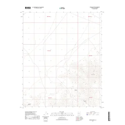
2018 Map of Harcuvar Peak
USGS Topo · Published 2018About this map
Harcuvar Peak dominates the skyline of the Arizona desert within this 2018 survey of La Paz County. The landscape is defined by the high ridges of the Harcuvar Mountains, which stretch across the central and eastern portions of the map, providing a stark topographical contrast to the surrounding basins. To the southwest, the foothills of the Granite Wash Mountains begin to emerge, separated from the primary range by a broad desert floor. A significant geological and transit waypoint is identified at Cottonwood Pass, a natural break in the mountain terrain. This map serves as a primary reference for the intricate township and range system, including t7n r13w and t7n r14w, illustrating how public lands are partitioned across this arid environment.
Find a feature on this map
10 named features on this map. Tap any name to fly to it.
Don’t see what you’re looking for? This feature index may not catch every label — zoom into the map to look around manually.
Map Details
Editions of this 2018 Harcuvar Peak Map
This is the sole edition of this map. No revisions or reprints were ever made.
Other maps of this area

1923 · Signal
USGS Topo · 1:250,000

1942 · Signal
USGS Topo · 1:250,000

1942 · Vicksburg
USGS Topo · 1:250,000

1950 · Prescott
USGS Topo · 1:250,000

1954 · Prescott
USGS Topo · 1:250,000

1954 · Phoenix
USGS Topo · 1:250,000

1957 · Phoenix
USGS Topo · 1:250,000

1958 · Prescott
USGS Topo · 1:250,000

1958 · Phoenix
USGS Topo · 1:250,000

1959 · Prescott
USGS Topo · 1:250,000