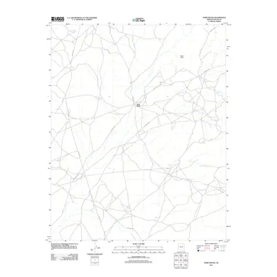
2011 Map of Hard Rocks
USGS Topo · Published 2011About this map
Hard Rocks sits at the nexus of an intricate network of desert roads in the Navajo Nation, providing a look at the modern connectivity of this high plateau landscape. The area is defined by its sweeping topographic features, most notably the broad expanse of White Valley and the distinctive terrain of Ah Na Na Betoh. This survey details the transition from established routes like Indian Rte-8 and Indian Rte-42 to more specialized paths such as Turquoise Trl and Hill Edge. The lack of dense municipal development emphasizes a settlement pattern based on dispersed residency and traditional land use, where intersections like the one at Hard Rocks serve as vital focal points for the surrounding community.
Find a feature on this map
12 named features on this map. Tap any name to fly to it.
Don’t see what you’re looking for? This feature index may not catch every label — zoom into the map to look around manually.
Map Details
Editions of this 2011 Hard Rocks Map
This is the sole edition of this map. No revisions or reprints were ever made.
Other maps of this area

1883 · Marsh Pass
USGS Topo · 1:250,000

1883 · Tusayan
USGS Topo · 1:250,000

1886 · Tusayan
USGS Topo · 1:250,000

1892 · Marsh Pass
USGS Topo · 1:250,000

1947 · Flagstaff
USGS Topo · 1:250,000

1954 · Flagstaff
USGS Topo · 1:250,000

1956 · Marble Canyon
USGS Topo · 1:250,000

1958 · Flagstaff
USGS Topo · 1:250,000

1959 · Marble Canyon
USGS Topo · 1:250,000

1960 · Flagstaff
USGS Topo · 1:250,000